Lake Albert Golf Club
Location: Meningie
Location: Coorong District Council
GPS coordinates: -35.69717,139.33376
Latest update: November 28, 2025 15:02
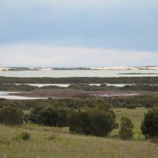
Coorong National Park
43.9 km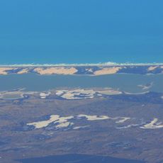
Younghusband Peninsula
36.9 km
Salt Lagoon Islands Conservation Park
27.6 km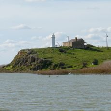
Malcom Point lighthouse
24.6 km
Mount Boothby National Park
43 km
Mount Sandy
4.3 km
Mount Anderson
13.3 km
Mount Hannah
38.3 km
Sugars Beach
44.1 km
Turn Off Beach
43.1 km
Mount Boothby
43.1 km
Jubilee Park
1.2 km
Mount Mysery
19.2 km
Coorong Channel Weir
41.2 km
Mount Barlas
10.3 km
Square Sand Hill
19.4 km
McDougall Hill
24.4 km
Weerimbrook Hill
34.4 km
Jacks Hill
29.3 km
Mount Murray
20.8 km
Mason Lookout
25.5 km
Round Hill
15 km
Pink Lake Lookout
12.9 km
Jacks Point Pelicans Observatory
43.2 km
Birdman of the Coorong
1.4 km
Scenic viewpoint
44 km
Scenic viewpoint
43.1 km
Scenic viewpoint
2.3 kmReviews
Visited this place? Tap the stars to rate it and share your experience / photos with the community! Try now! You can cancel it anytime.
Discover hidden gems everywhere you go!
From secret cafés to breathtaking viewpoints, skip the crowded tourist spots and find places that match your style. Our app makes it easy with voice search, smart filtering, route optimization, and insider tips from travelers worldwide. Download now for the complete mobile experience.

A unique approach to discovering new places❞
— Le Figaro
All the places worth exploring❞
— France Info
A tailor-made excursion in just a few clicks❞
— 20 Minutes