Penn National
Location: Guilford Township
GPS coordinates: 39.85366,-77.54399
Latest update: November 6, 2025 22:13
Caledonia State Park
8.3 km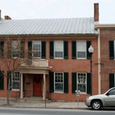
Alexander Hamilton House
11.3 km
Carbaugh Run Rhyolite Quarry Site
8.1 km
Brotherton Farm
8.9 km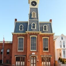
Borough Hall of the Borough of Waynesboro
11.3 km
Royer-Nicodemus House and Farm
12.4 km
Gass House
11.1 km
Coldbrook Farm
12.4 km
Strawberry Hill Nature Preserve
12.4 km
Jeremiah Burns Farm
9.8 km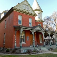
Joseph J. Oller House
11.2 km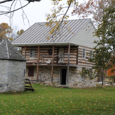
Handycraft Farmstead
10.1 km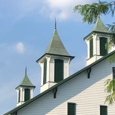
Renfrew Museum and Park
12.3 km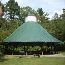
Mont Alto State Park
2.2 km
Chambersburg Reservoir
11.1 km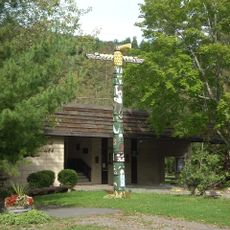
Totem Pole Playhouse
8.1 km
Long Pine Run Reservoir
12.3 km
Strand Theater
11.3 km
Carbaugh Reservoir
8.2 km
Waynesboro Country Club
10.5 km
South Mountain Golf Course
3.1 km
Penn National Golf Course
1.5 km
Conocodell Golf Course
6.8 km
Caledonia Golf Club
8.1 km
Penn State Mont Alto Nittany Lion Shrine
1.4 km
42 West
11.3 km
Scenic viewpoint
7.3 km
Rattlesnake Run Lookout
10.4 kmReviews
Visited this place? Tap the stars to rate it and share your experience / photos with the community! Try now! You can cancel it anytime.
Discover hidden gems everywhere you go!
From secret cafés to breathtaking viewpoints, skip the crowded tourist spots and find places that match your style. Our app makes it easy with voice search, smart filtering, route optimization, and insider tips from travelers worldwide. Download now for the complete mobile experience.

A unique approach to discovering new places❞
— Le Figaro
All the places worth exploring❞
— France Info
A tailor-made excursion in just a few clicks❞
— 20 Minutes