Mont Mbia
Location: Mambasa
Operator: ICCN
GPS coordinates: 1.39007,28.57899
Latest update: October 17, 2025 09:16
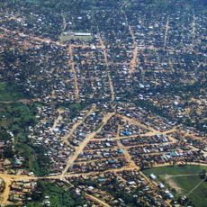
Bunia
187 km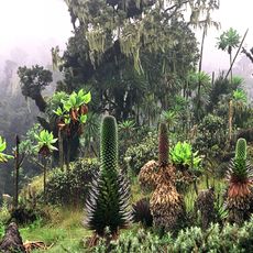
Rwenzori Mountains National Park
190.4 km
Okapi Wildlife Reserve
68.5 km
Toro-Semliki Wildlife Reserve
200 km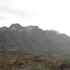
Mount Luigi di Savoia
186.9 km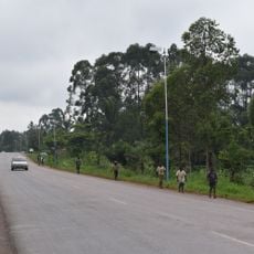
Ruwenzori
173.4 km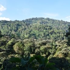
North Rwenzori Central Forest Reserve
193 km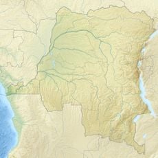
Domaine de chasse de Maika-Penge
174 km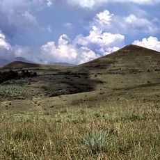
Fort Portal
201.2 km
Sempaya Hot Springs (female)
187.1 km
Road to buruuj
200.5 km
Okapi wildlife reserve
175.4 km
Virunga National Park
200.5 km
Sempaya Hot Springs (male)
186.9 km
Mont Sida
3 km
Junction to saaka kyeganywa
200.2 km
Mbuzi centre
201.5 km
Horse riding
200.3 km
Camp de la Faim
32.8 km
Road to the buruuj
200.6 km
Lobelia Garden
195.2 km
Ngumatha
140.6 km
Holu
141.6 km
Top of Saaka
200.8 km
Scenic viewpoint
194.1 km
Scenic viewpoint
195.4 km
Kigere kya nyina mwiru
200.5 km
Lake view stp
200.3 kmVisited this place? Tap the stars to rate it and share your experience / photos with the community! Try now! You can cancel it anytime.
Discover hidden gems everywhere you go!
From secret cafés to breathtaking viewpoints, skip the crowded tourist spots and find places that match your style. Our app makes it easy with voice search, smart filtering, route optimization, and insider tips from travelers worldwide. Download now for the complete mobile experience.

A unique approach to discovering new places❞
— Le Figaro
All the places worth exploring❞
— France Info
A tailor-made excursion in just a few clicks❞
— 20 Minutes