Sand River Crossing
Location: Et-taous ⵟⴰⵡⵙ الطاوس
GPS coordinates: 30.79368,-4.14534
Latest update: October 30, 2025 11:12

Sijilmasa
55.6 km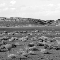
Gara Medouar
61.5 km
Tahiri museum of fossils
63.4 km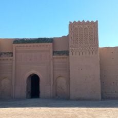
Ksar Abbar
54.8 km
Fossil Rocks
64 km
Sand Dunes
33 km
Site de gravures rupestres de Taouz
16.6 km
Mezguida
59.9 km
Abandoned village
33.2 km
Abandoned village
33.2 km
French village ruins
33.4 km
Oasis
36.8 km
Macro Fossiles Kasbah
70 km
Erg de Ouzina
4.4 km
Fossil quarry
64.9 km
Fossil quarry
65.4 km
Dune Zereg
50.6 km
Scenic viewpoint
37.7 km
Scenic viewpoint
47.5 km
Scenic viewpoint
41.4 km
Scenic viewpoint
61.5 km
Scenic viewpoint
29.7 km
Ghost Town View Point
32.9 km
Sand Dunes
8.3 km
Scenic viewpoint
32.9 km
Grand Dune View Point
35 km
Scenic viewpoint
51.8 km
Antoine du Saint-Exupéry
46.8 kmVisited this place? Tap the stars to rate it and share your experience / photos with the community! Try now! You can cancel it anytime.
Discover hidden gems everywhere you go!
From secret cafés to breathtaking viewpoints, skip the crowded tourist spots and find places that match your style. Our app makes it easy with voice search, smart filtering, route optimization, and insider tips from travelers worldwide. Download now for the complete mobile experience.

A unique approach to discovering new places❞
— Le Figaro
All the places worth exploring❞
— France Info
A tailor-made excursion in just a few clicks❞
— 20 Minutes