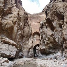
Kal Jeni Valley
Location: دهستان منتظریه
Address: مسیر دسترسی به کال جنی
GPS coordinates: 33.82284,56.83225
Latest update: October 26, 2025 18:24
Kurit Dam
57.4 km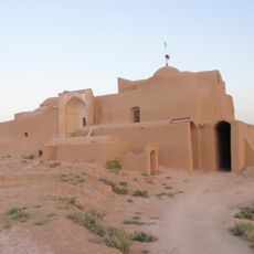
Jameh Mosque of Raqqeh
40.9 km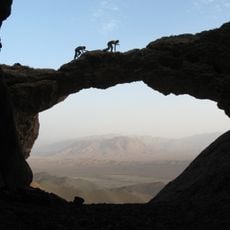
Ferdows Hole in the Rock
99.7 km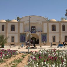
Golshan Garden (Tabas)
26.7 km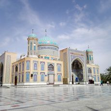
Imamzadeh Husayn
25.4 km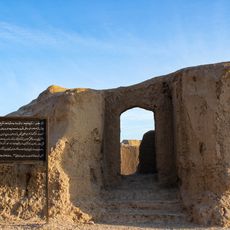
Tabas Citadel
27 km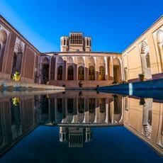
Mostowfi House (Boshruyeh)
55 km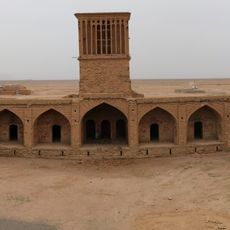
Qasemabad Caravanserai
121.5 km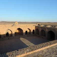
Char Gonbad Caravanserai
83.3 km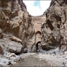
Shah Abbas Dam
35.6 km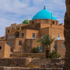
Abu Nasr Iraweh Mausoleum
44.6 km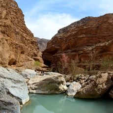
Morteza Ali Canyon (South Khorasan)
35.4 km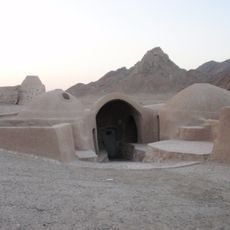
Dahaneh Watermill
43 km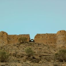
Kharv Castle
37.3 km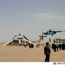
Tabas Sandstorm Memorial
120.8 km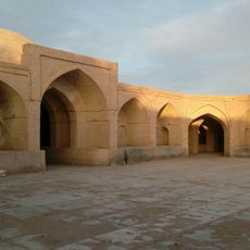
Asfak Caravanserai
42.2 km
A
109.5 km
خروجی کال
247 m
Mosque of Thanks
120.7 km
Historical city
59.1 km
Beautiful sand desert
80.2 km
یادمان حادثه طبس
120.7 km
Shah Abbasi Arch
35.6 km
Caves
35 km
Takht Aroos Waterfall
6.6 km
Golshan Garden
26.7 km
Tabas Citadel
27 km
ABDOLSAMAD GHERAAATI
110 kmReviews
Visited this place? Tap the stars to rate it and share your experience / photos with the community! Try now! You can cancel it anytime.
Discover hidden gems everywhere you go!
From secret cafés to breathtaking viewpoints, skip the crowded tourist spots and find places that match your style. Our app makes it easy with voice search, smart filtering, route optimization, and insider tips from travelers worldwide. Download now for the complete mobile experience.

A unique approach to discovering new places❞
— Le Figaro
All the places worth exploring❞
— France Info
A tailor-made excursion in just a few clicks❞
— 20 Minutes