
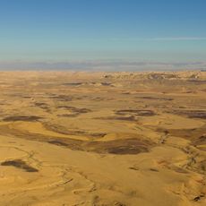
Remalia water holes
Location: מועצה אזורית רמת נגב
GPS coordinates: 30.79529,34.75566
Latest update: April 3, 2025 01:03
Makhtesh Ramon National Park
24.8 km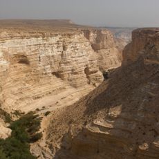
Ein Avdat
3.6 km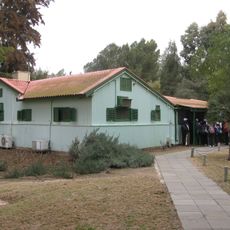
Ben Gurion's Desert Home
9.3 km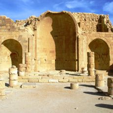
Shivta
15.3 km
Holot
31.6 km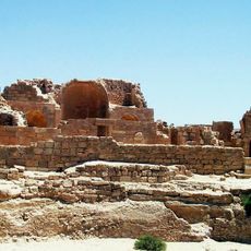
Incense Route – Desert Cities in the Negev
34.9 km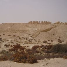
Nitzana
32 km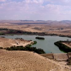
Yeruham lake
25.4 km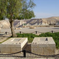
David and Pola Ben Gurion graves
6.9 km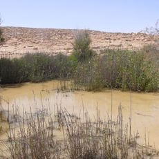
Lotz Cisterns
34.4 km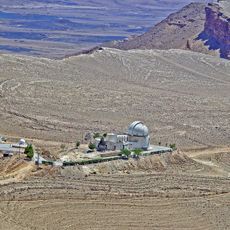
Wise Observatory
22.2 km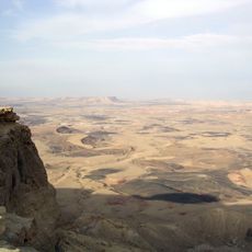
Har Ramon
34.5 km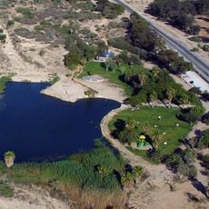
Golda Park
24.7 km
Metsad Saharonim
27.6 km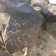
חרותות סלע בהר הנגב המרכזי
3.2 km
Nekarot fortress
34.5 km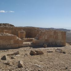
Metzad Mahmal
20.4 km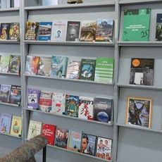
Midreshet Ben-Gurion library
6.7 km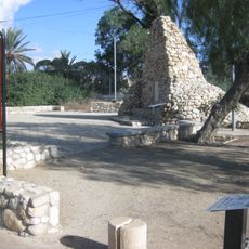
Bir Asluj War Memorial
24.6 km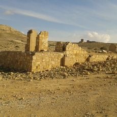
Oil exploration camp in Mount Avnon
28.9 km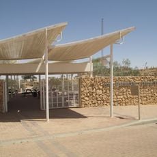
Bio Ramon
21.2 km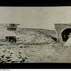
The Turkish train bridge in Auja El Hafir
33.6 km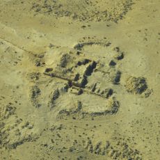
Matzad Maagura
7.8 km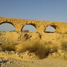
Turkish Railway Bridge over Lavan Stream
23.5 km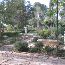
Revivim Military Cemetery
28.3 km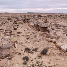
חורבת הרועה
15.6 km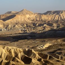
Ben-Gurion Heritage Institute
6.4 km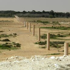
Way of Peace
33.1 kmReviews
Visited this place? Tap the stars to rate it and share your experience / photos with the community! Try now! You can cancel it anytime.
Discover hidden gems everywhere you go!
From secret cafés to breathtaking viewpoints, skip the crowded tourist spots and find places that match your style. Our app makes it easy with voice search, smart filtering, route optimization, and insider tips from travelers worldwide. Download now for the complete mobile experience.

A unique approach to discovering new places❞
— Le Figaro
All the places worth exploring❞
— France Info
A tailor-made excursion in just a few clicks❞
— 20 Minutes