
Stockade & Tower – Tel Amal
Location: מועצה אזורית עמק המעיינות
GPS coordinates: 32.50588,35.45060
Latest update: November 12, 2025 04:50
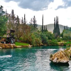
Gan HaShlosha National Park
267 m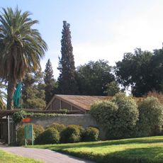
Beth Alpha synagogue
2.5 km
פארק המעיינות
344 m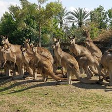
Gan Guru
347 m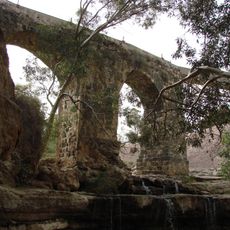
Kantara Bridge in Nahal Harod
2.3 km
Tel Shokha
1.2 km
Shemurat Naẖal Qibbuẕim
696 m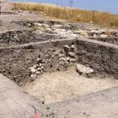
Tel Zahara
836 m
Tel Zaharon
517 m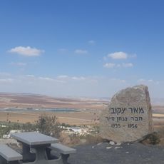
תצפית מאיר יעקובי
2.4 km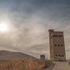
Migdal Hashlosha
1.2 km
Memorial Site
2.4 km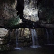
גשר קנטרה
2.3 km
מגלשת הצינור
1.1 km
מגדל תצפית
1.9 km
מצפה גברוש
2.2 km
Scenic viewpoint
1.2 km
Scenic viewpoint
1.1 km
Scenic viewpoint
748 m
Scenic viewpoint
860 m
Scenic viewpoint
981 m
Scenic viewpoint
1.2 km
Beit Yad Labanim
553 m
אלואט 2
722 m
השביל הרטוב
1 km
Waterfall
2.3 km
Waterfall
2.3 km
מפלון עם בריכה
2.4 kmReviews
Visited this place? Tap the stars to rate it and share your experience / photos with the community! Try now! You can cancel it anytime.
Discover hidden gems everywhere you go!
From secret cafés to breathtaking viewpoints, skip the crowded tourist spots and find places that match your style. Our app makes it easy with voice search, smart filtering, route optimization, and insider tips from travelers worldwide. Download now for the complete mobile experience.

A unique approach to discovering new places❞
— Le Figaro
All the places worth exploring❞
— France Info
A tailor-made excursion in just a few clicks❞
— 20 Minutes