פרסת דרוך
Location: מועצה אזורית רמת נגב
GPS coordinates: 30.85799,34.86174
Latest update: November 11, 2025 20:23

Hod Akev
4.8 km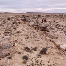
חורבת הרועה
5.6 km
Mt. Zaror
3.9 km
פרגולה וזולה שצופה למדבר
4.3 km
Scenic viewpoint
6.7 km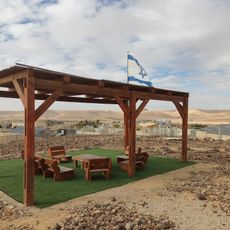
מצפה יהונתן
4.4 km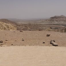
תצפית על חווארי הצין
6.8 km
מעלה אברהם
6.5 km
מגדל נבטי
6.7 km
Scenic viewpoint
6.3 km
גבי עפרן
6.1 km
נחל תלול
3.1 km
כתובות שביליסטים
2.9 km
מאגורה
4 km
ספריית שביל ישראל
6.3 km
מצד חלוקים
6.6 km
Archaeological site
6.6 km
חורבת חצצה
5.5 km
Scenic viewpoint
5.4 km
Archaeological site
5.7 km
איתי מינץ
5.4 km
Waterfall
6.7 km
Waterfall
3.7 km
Waterfall
5.6 km
Waterfall
392 m
Waterfall
576 m
Waterfall
3.8 km
Waterfall
3.8 kmReviews
Visited this place? Tap the stars to rate it and share your experience / photos with the community! Try now! You can cancel it anytime.
Discover hidden gems everywhere you go!
From secret cafés to breathtaking viewpoints, skip the crowded tourist spots and find places that match your style. Our app makes it easy with voice search, smart filtering, route optimization, and insider tips from travelers worldwide. Download now for the complete mobile experience.

A unique approach to discovering new places❞
— Le Figaro
All the places worth exploring❞
— France Info
A tailor-made excursion in just a few clicks❞
— 20 Minutes