העמוד של נחל עמוד
Location: מועצה אזורית עמק הירדן
GPS coordinates: 32.87239,35.50172
Latest update: November 12, 2025 08:19
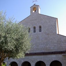
Church of the Multiplication
4.5 km
Khirbat al-Minya
3.3 km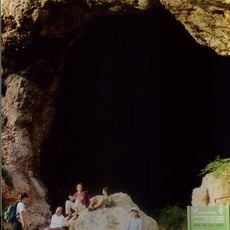
Zuttiyeh
3 km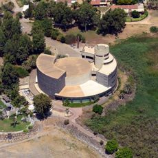
Bet Yigʼal Alon
3.8 km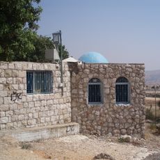
Habakkuk Tomb (Kadarim)
2.8 km
שמורת נחל עמוד
246 m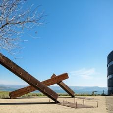
Yigal Allon Centre
3.8 km
Hukok Fortress
840 m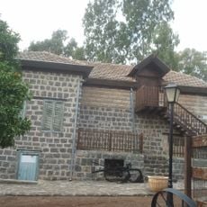
Beit HaRishonim, Migdal
3.6 km
Shovakh-Höhle
481 m
Horvat Kur
3.6 km
Kloster Palmaria
3.7 km
Me‘arat Ha‘Ammud
24 m
Me‘arat Gulgolet
853 m
H̱of Tamar
4.2 km
Shemurat Naẖal Ẕalmon
3.4 km
Gan Le'ummi Tel Hodim
3.2 km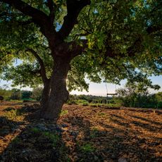
תצפית האלון הגדול
1.6 km
Scenic viewpoint
35 m
Work of art, statue
3.8 km
Work of art
3.9 km
גיחון נחל עמוד
1.5 km
Scenic viewpoint
4 km
Scenic viewpoint
2.9 km
תצפית סיפון נחל עמוד
1.7 km
תצפית נחל עמוד
1.6 km
Tel Hodim
3.4 km
חורבת שונה
4.2 kmReviews
Visited this place? Tap the stars to rate it and share your experience / photos with the community! Try now! You can cancel it anytime.
Discover hidden gems everywhere you go!
From secret cafés to breathtaking viewpoints, skip the crowded tourist spots and find places that match your style. Our app makes it easy with voice search, smart filtering, route optimization, and insider tips from travelers worldwide. Download now for the complete mobile experience.

A unique approach to discovering new places❞
— Le Figaro
All the places worth exploring❞
— France Info
A tailor-made excursion in just a few clicks❞
— 20 Minutes