שכבות גיר בנחל כזיב
Location: מועצה אזורית מעלה יוסף
GPS coordinates: 33.04381,35.24436
Latest update: October 30, 2025 17:04
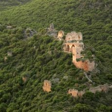
Montfort Castle
1.7 km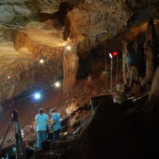
Manot Cave
4.9 km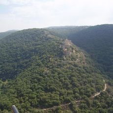
Goren Park
2.2 km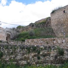
King's Castle
2.5 km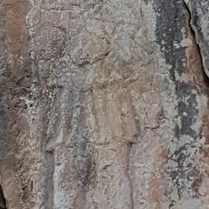
האיש שבקיר
2.1 km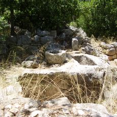
Hirbet Danila
2.5 km
יער הילד היהודי
2.5 km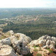
Ramat Adamit
5.1 km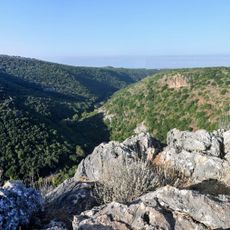
Scenic viewpoint
1.7 km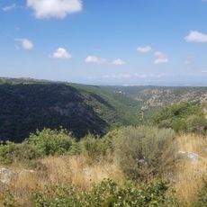
תצפית ובור עתיק
802 m
תצפית יפה ואינטימית
1.8 km
Scenic viewpoint
1.7 km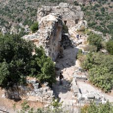
Scenic viewpoint
1.6 km
תצפית על המונפור
2.1 km
Scenic viewpoint
887 m
Scenic viewpoint
2.1 km
Large Carob Tree lookout
5.5 km
Monfort Castle
1.7 km
HaVradim
4.5 km
Scenic viewpoint
2 km
נקודת תצפית נהדרת לעבר נחל כזיב
1.6 km
Scenic viewpoint
1.6 km
Sarakh Cave
3.4 km
פילבוקס
3.9 km
Scenic viewpoint
1 km
Esh Sheikh Mujahid
5.3 km
Esh Sheikh Musa
5.3 km
שייח' מחמד מבארכ
3.9 kmReviews
Visited this place? Tap the stars to rate it and share your experience / photos with the community! Try now! You can cancel it anytime.
Discover hidden gems everywhere you go!
From secret cafés to breathtaking viewpoints, skip the crowded tourist spots and find places that match your style. Our app makes it easy with voice search, smart filtering, route optimization, and insider tips from travelers worldwide. Download now for the complete mobile experience.

A unique approach to discovering new places❞
— Le Figaro
All the places worth exploring❞
— France Info
A tailor-made excursion in just a few clicks❞
— 20 Minutes