גבי עפרן
Location: מועצה אזורית רמת נגב
GPS coordinates: 30.87685,34.92143
Latest update: October 29, 2025 00:23

Hod Akev
10.6 km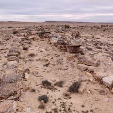
חורבת הרועה
7.4 km
Mt. Zaror
9.8 km
פרגולה וזולה שצופה למדבר
8.8 km
Hakarbolet
6.5 km
הנקודה הגבוהה לאחר העליה לכרבולת
3.6 km
עיקול פרסה בנחל צין
8.4 km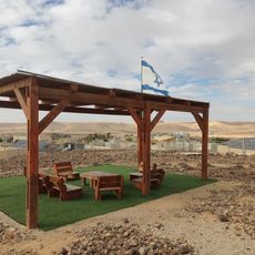
מצפה יהונתן
8.6 km
Scenic viewpoint
8.6 km
Scenic viewpoint
7.2 km
כתובות שביליסטים
6.5 km
Scenic viewpoint
10.6 km
Scenic viewpoint
5.7 km
Scenic viewpoint
10.4 km
העין של הר רכב
7.7 km
Scenic viewpoint
2.9 km
Scenic viewpoint
1.8 km
Scenic viewpoint
8 km
פרסת דרוך
6.1 km
Scenic viewpoint
10.1 km
נחל תלול
3.1 km
ספריית שביל ישראל
1.5 km
תצפית הרי מטמור
7.4 km
Quartz Arenite
11 km
מעלה אברהם
1.9 km
אריאל יהודאי
6.9 km
ירון
11.1 km
רונן לב, ירון וינוטה
11.1 kmReviews
Visited this place? Tap the stars to rate it and share your experience / photos with the community! Try now! You can cancel it anytime.
Discover hidden gems everywhere you go!
From secret cafés to breathtaking viewpoints, skip the crowded tourist spots and find places that match your style. Our app makes it easy with voice search, smart filtering, route optimization, and insider tips from travelers worldwide. Download now for the complete mobile experience.

A unique approach to discovering new places❞
— Le Figaro
All the places worth exploring❞
— France Info
A tailor-made excursion in just a few clicks❞
— 20 Minutes