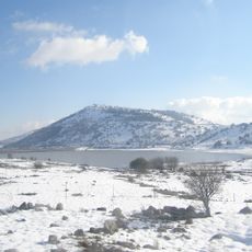
קטיף עצמי אל - רום
Location: מועצה אזורית גולן
GPS coordinates: 33.17370,35.80455
Latest update: October 28, 2025 02:46
Mount Bental
5.3 km
Mount Avital
7.4 km
Quneitra Crossing
6.9 km
Mt. Hermonit
1.7 km
Mount Odem
5.4 km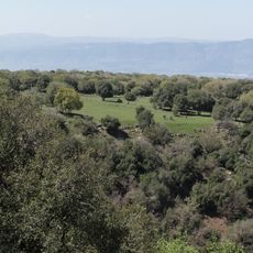
Odem Forest Reserve
6.8 km
Tall Warda
4.4 km
Palsar-7 memorial
3.2 km
Mount Keramim
5.7 km
שמורת הר חרמונית
1.7 km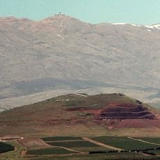
Har Baron
3 km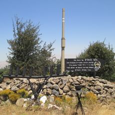
74th Battalion memorial on Golan Heights
5.2 km
Mt. Odem
5.5 km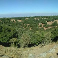
Scenic viewpoint
7.5 km
Einav Viewpoint
4.9 km
תצפית לחרמון
5.9 km
סלע הפלאומגנטיזם (היפוך צפון)
6.5 km
תצפית קונייטרה
7.3 km
עמק הבכא
726 m
Viewpoint
5 km
حديقة البعث
6.1 km
יער האיילים
5.4 km
תצפית הר בנטל
5.3 km
עוז 77
730 m
פסל נדיה כהן
5.6 km
לזכר אלי כהן
4.7 km
כח נתי
7 km
רכס הבוסטר
2.2 kmReviews
Visited this place? Tap the stars to rate it and share your experience / photos with the community! Try now! You can cancel it anytime.
Discover hidden gems everywhere you go!
From secret cafés to breathtaking viewpoints, skip the crowded tourist spots and find places that match your style. Our app makes it easy with voice search, smart filtering, route optimization, and insider tips from travelers worldwide. Download now for the complete mobile experience.

A unique approach to discovering new places❞
— Le Figaro
All the places worth exploring❞
— France Info
A tailor-made excursion in just a few clicks❞
— 20 Minutes