דרך חולית
Location: מועצה אזורית רמת נגב
GPS coordinates: 30.96568,34.59776
Latest update: October 15, 2025 21:42

Rehovot-in-the-Negev
7.8 km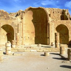
Shivta
10 km
Shemurat H̱olot Mash'abbim
12.9 km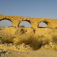
Turkish Railway Bridge over Lavan Stream
9.4 km
Revivim Military Cemetery
14.3 km
Me‘arat Ashalim
13.7 km
Mitzpe Shivta
5.5 km
הכנסיה הצפונית
8 km
מצד משורה הפרסי
12 km
גשר רכבת
9.1 km
מגדל קולובריום
9.3 km
בור פקועה
8.2 km
Scenic viewpoint
9.8 km
קניון הלס
10 km
חורבת סעדון
7.1 km
ביוב מפרשית - צפרות
10.6 km
חורבת רוגם
10.7 km
מצד משורה הישראלי
11.9 km
שיזף
8.8 km
חווה חקלאית קדומה
12.5 km
מצפה גבעת חייל
6.7 km
Waterfall
13.2 km
עליה קשוחה ותלולה
13.3 km
Scenic viewpoint
13.6 km
מצפה שיבטה
5.5 km
Waterfall
13.9 km
Sand surfing
2.3 km
Chai Negev
14.4 kmReviews
Visited this place? Tap the stars to rate it and share your experience / photos with the community! Try now! You can cancel it anytime.
Discover hidden gems everywhere you go!
From secret cafés to breathtaking viewpoints, skip the crowded tourist spots and find places that match your style. Our app makes it easy with voice search, smart filtering, route optimization, and insider tips from travelers worldwide. Download now for the complete mobile experience.

A unique approach to discovering new places❞
— Le Figaro
All the places worth exploring❞
— France Info
A tailor-made excursion in just a few clicks❞
— 20 Minutes