חצר ראשונים
Location: מועצה אזורית עמק הירדן
GPS coordinates: 32.70812,35.57629
Latest update: November 12, 2025 03:13

Ohalo
1.6 km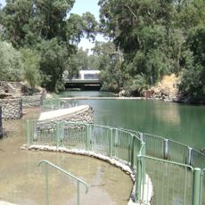
Yardenit
572 m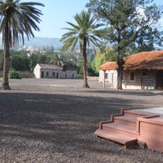
Kinneret
2 km
Ubeidiya prehistoric site
2.6 km
Kinneret farm
1.2 km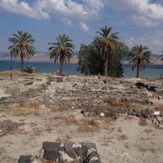
Khirbet Kerak
1.2 km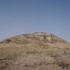
Ubeidiya prehistoric site
2.6 km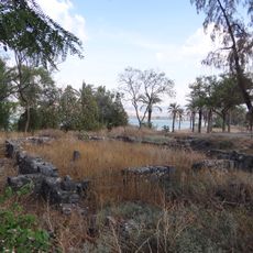
Al-Sinnabra
1.2 km
Motor House, Kvutzat Kinneret
653 m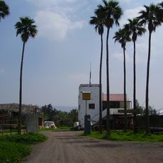
Bitaniya Tachtit
1.1 km
Bet Gordon
298 m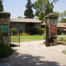
חצר ראשונים בדגניה
39 m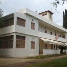
Kvutzat Kinneret Museum
1.4 km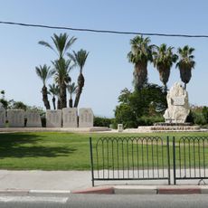
אנדרטת חללי עמק הירדן
1 km
Degania Alef Military Cemetery
464 m
H̱of Shaldag
1.8 km
H̱of Ẕemaẖ
1.2 km
Environmental Sculpture
2 km
H̱of Raẖel
1.3 km
Gan Le'ummi Bet Yera
821 m
ספריית שביל ישראל
2.1 km
מרכבות הירדן
1.1 km
Syrian tank
205 m
Scenic viewpoint
2.6 km
Scenic viewpoint
2.7 km
Samakh
1.1 km
ביתניה
1.3 km
אלעבידיה
2.4 kmReviews
Visited this place? Tap the stars to rate it and share your experience / photos with the community! Try now! You can cancel it anytime.
Discover hidden gems everywhere you go!
From secret cafés to breathtaking viewpoints, skip the crowded tourist spots and find places that match your style. Our app makes it easy with voice search, smart filtering, route optimization, and insider tips from travelers worldwide. Download now for the complete mobile experience.

A unique approach to discovering new places❞
— Le Figaro
All the places worth exploring❞
— France Info
A tailor-made excursion in just a few clicks❞
— 20 Minutes