山上多重塔
Location: 桐生市
Website: http://www.city.kiryu.gunma.jp/web/home.nsf/a170e5c408a86cd8492568ff000dcc0e/5bfdfab617d07b3449256fb8000e5df3
GPS coordinates: 36.42902,139.22054
Latest update: October 10, 2024 22:41
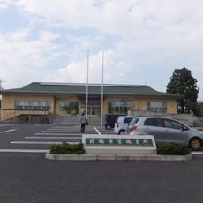
鼻毛石町
3.7 km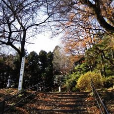
Zen Castle
895 m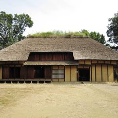
Omuro Park
5 km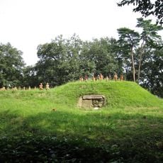
Shofutago Kofun
5 km
Takei temple ruins
2.1 km
Wayside shrine
3.6 km
Wayside shrine
3.7 km
谷津館
2.9 km
Fujiyama Hill
3 km
Memorial
3.2 km
Tomb, tumulus
3.4 km
Tumulus, tomb
3.4 km
Tumulus, tomb
3.5 km
Observation Hall
2.8 km
Caribbean Beach
3.6 km
Wayside shrine
1.4 km
Wayside shrine
2.9 km
Fujusawa's Okaku Cheery Tree
3.9 km
赤城カントリークラブ
4.3 km
Monument
4.4 km
Bamboo Shoot Tower
4.4 km
Wayside shrine
4.5 km
Mallet Golf Course
4.6 km
水時計のオブジェ
4.9 km
高縄の磨崖仏
1.4 km
Memorial
5 km
膳城 (Ruins of Zen Castle)
886 m
Memorial
5 kmReviews
Visited this place? Tap the stars to rate it and share your experience / photos with the community! Try now! You can cancel it anytime.
Discover hidden gems everywhere you go!
From secret cafés to breathtaking viewpoints, skip the crowded tourist spots and find places that match your style. Our app makes it easy with voice search, smart filtering, route optimization, and insider tips from travelers worldwide. Download now for the complete mobile experience.

A unique approach to discovering new places❞
— Le Figaro
All the places worth exploring❞
— France Info
A tailor-made excursion in just a few clicks❞
— 20 Minutes