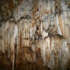
Akha village
Location: ເມືອງຫຼວງນໍ້າທາ
GPS coordinates: 20.97764,101.36926
Latest update: November 14, 2025 13:36

Nam Ha National Protected Area
21.6 km
Luang Namtha Museum
5.1 km
Climbeable tree
12.5 km
Pagnueng
21 km
That Phum Phuk stupas
1.4 km
Buddha Statue
27.5 km
Luang Namtha Valley Route
4.9 km
Bridge
14.2 km
Rice terraes
11.4 km
Akha village
78 m
House
13.1 km
Take a rest
11.6 km
Bamboo bridge
5.4 km
Pieng nam handicraft center
3 km
Road to traditional houses of Akka people
28 km
磨憨口岸
39.9 km
View point
12 km
Access Road from Namor - Nalae district
43.1 km
View point through the jungle
12.7 km
View point
12.5 km
Pagnueng
20.6 km
Unknown secret viewpoint
2.5 km
Scenic viewpoint
14.6 km
Plaza
33.1 km
Xieng Tung Stupa
27.6 km
Namdi Waterfall
8.6 km
Nam Keo Waterfall
25.4 km
Hidden waterfall
44.1 kmReviews
Visited this place? Tap the stars to rate it and share your experience / photos with the community! Try now! You can cancel it anytime.
Discover hidden gems everywhere you go!
From secret cafés to breathtaking viewpoints, skip the crowded tourist spots and find places that match your style. Our app makes it easy with voice search, smart filtering, route optimization, and insider tips from travelers worldwide. Download now for the complete mobile experience.

A unique approach to discovering new places❞
— Le Figaro
All the places worth exploring❞
— France Info
A tailor-made excursion in just a few clicks❞
— 20 Minutes