
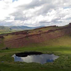
Каменная чаша
Location: Саралинский сельсовет
GPS coordinates: 54.86393,89.20042
Latest update: October 31, 2025 15:12
Sunduki Range
38.5 km
Ivanovskie ozyora
45.3 km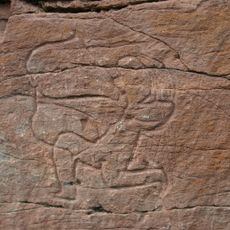
Sulek petroglyphs
27.1 km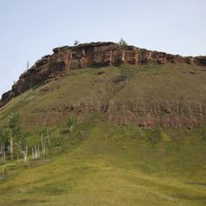
Chebaki fortress
26.4 km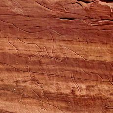
Oshkol' petroglyphs
17.5 km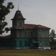
Ivanitsky Estate, Chebaki
34 km
Братская могила 70 партизан, расстрелянных и погибших в боях с колчаковцами в марте 1919 года (Чебаки)
34.5 km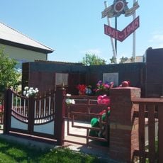
Памятник воинам-землякам, погибшим в годы Великой Отечественной войны (Соленоозёрное)
45.9 km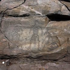
Sunduki Petroglyphs
40.7 km
Символ Матери
25 km
Белая лошадь
35.7 km
Петроглиф Белая лощадь
35.5 km
Писанница Талкин ключ
15.8 km
Саралинская каменная дева
4.4 km
Ворота
35.2 km
Сулекская писаница
27.3 km
Музей-заповедник "Сундуки"
38.3 km
Ворота
35.4 km
Камень здоровья
43.4 km
Белая лошадь
35.8 km
Чёрная гора
35.3 km
Палеорисунки
40.5 km
Хэс Обаа
25.5 km
Вид на долину
44.2 km
Memorial stone, memorial
42 km
Memorial, war memorial
42.5 km
Memorial, war memorial
40.3 km
В. И. Ленин
40.2 kmReviews
Visited this place? Tap the stars to rate it and share your experience / photos with the community! Try now! You can cancel it anytime.
Discover hidden gems everywhere you go!
From secret cafés to breathtaking viewpoints, skip the crowded tourist spots and find places that match your style. Our app makes it easy with voice search, smart filtering, route optimization, and insider tips from travelers worldwide. Download now for the complete mobile experience.

A unique approach to discovering new places❞
— Le Figaro
All the places worth exploring❞
— France Info
A tailor-made excursion in just a few clicks❞
— 20 Minutes