
Шкала уровней паводковых вод
Location: городской округ Коломна
GPS coordinates: 55.10752,38.76601
Latest update: November 13, 2025 21:06
Pastila Museum, Kolomna
412 m
St Nicholas in the Possad
398 m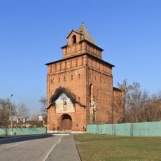
Pyatnitskie Gate
269 m
Church of the Exaltation of the Holy Cross
318 m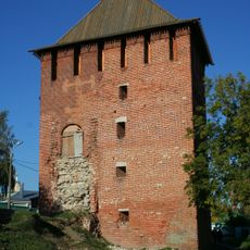
Spasskaya Tower (Kolomna Kremlin)
453 m
Church of the Nicholas Gostiny
438 m
Muzej ruske fotografije
284 m
Church of the Protection of the Theotokos in Posad
212 m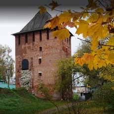
Pogorelaya Tower
349 m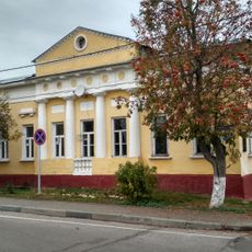
Lazareva Street 22, Kolomna
369 m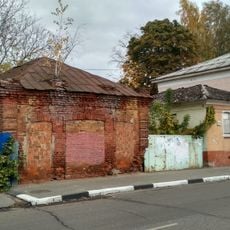
Усадьба Гаврюхина
425 m
Спасская башня
452 m
Дом Луковникова
256 m
Дом мещанина Силаева П. П.
369 m
Скамейка Анны Ахматовой
295 m
Пятницкие ворота
256 m
Дом Бориса Пильняка
363 m
Дом воеводы
423 m
Здание Коломенского уездного училища
461 m
Дом Мозгова
364 m
Липа сердцевидная
273 m
Water carrier
14 m
Сторожевая будка Изумрудного города
293 m
Museum-Navigator
244 m
Музей "Калачная"
235 m
Scenic viewpoint
171 m
Memorial, commemorative plaque
473 m
Memorial
249 mReviews
Visited this place? Tap the stars to rate it and share your experience / photos with the community! Try now! You can cancel it anytime.
Discover hidden gems everywhere you go!
From secret cafés to breathtaking viewpoints, skip the crowded tourist spots and find places that match your style. Our app makes it easy with voice search, smart filtering, route optimization, and insider tips from travelers worldwide. Download now for the complete mobile experience.

A unique approach to discovering new places❞
— Le Figaro
All the places worth exploring❞
— France Info
A tailor-made excursion in just a few clicks❞
— 20 Minutes