План города Ярославля 1778 года
Location: Кировский район
Location: городской округ Ярославль
GPS coordinates: 57.62645,39.89492
Latest update: November 19, 2025 08:44

Yaroslavl Art Museum
90 m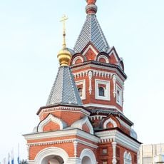
Chapel of Alexander Nevsky in Yaroslavl
259 m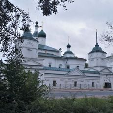
Spaso-Afanasievsky Monastery
130 m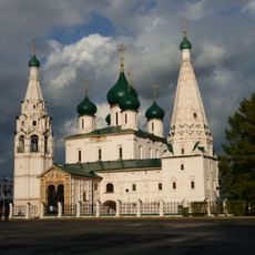
Church of Elijah the Prophet in Yaroslavl
62 m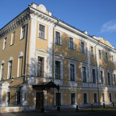
Governor's Palace in Yaroslavl
183 m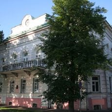
Museum of History of Yaroslavl
224 m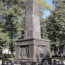
Monument to the Fighters for Soviet Power
81 m
Demidovsky Garden Square
209 m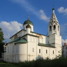
Saint Nicholas Nadeinskaya Church
277 m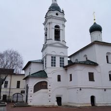
Sts. Athanasius and Cyril Cathedral
133 m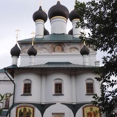
Church of the Holy Mandylion
159 m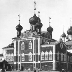
Resurrection Church in Yaroslavl
189 m
Дом вице-губернатора
263 m
Медведик-губернатор
225 m
IT покрути
219 m
Дом призрения ближнего 1785-1787
287 m
Дон Кихот
225 m
Медведик-сеятель
8 m
Медведик-адмирал
274 m
Сакура
87 m
Statue, Work of art
314 m
Ансамбль усадьбы Матвеевских
118 m
С.М. Нахимсону
112 m
Вставай, страна огромная!
349 m
Всё для фронта! Всё для победы!
352 m
Ярославская городская дума
334 m
С.Д. Урусову
326 m
Н.А. Некрасову
324 mReviews
Visited this place? Tap the stars to rate it and share your experience / photos with the community! Try now! You can cancel it anytime.
Discover hidden gems everywhere you go!
From secret cafés to breathtaking viewpoints, skip the crowded tourist spots and find places that match your style. Our app makes it easy with voice search, smart filtering, route optimization, and insider tips from travelers worldwide. Download now for the complete mobile experience.

A unique approach to discovering new places❞
— Le Figaro
All the places worth exploring❞
— France Info
A tailor-made excursion in just a few clicks❞
— 20 Minutes