Скала Камень
Location: Синарский район
Location: городской округ Каменск-Уральский
GPS coordinates: 56.41656,61.90122
Latest update: November 15, 2025 16:20
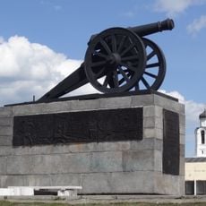
Kamensk-Uralsky Cannon
486 m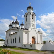
Savior Transfiguration monastery
736 m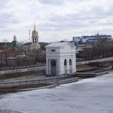
Dam on the Kamenka river
759 m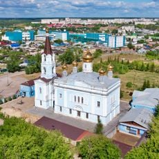
Church of the Intercession of the Most Holy Mother of God, Kamensk-Uralsky
711 m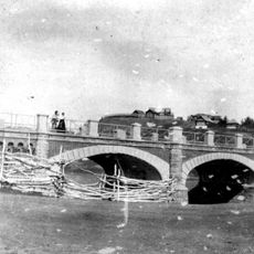
Bridge over Kamenka river
118 m
Merchant Kosyakov’s manor house
273 m
Molchanov Merchants’ Shop
315 m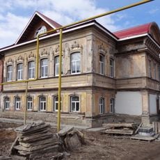
House-Estate of the merchant Vorobyov
743 m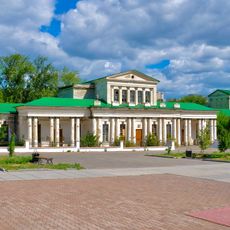
Warehouses Kamensky plant
456 m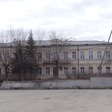
Estate of the Caretaker of the Kamensk Plant
601 m
Tronin’s House
473 m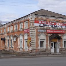
Gerasimov Merchant’s Shop
457 m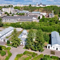
Bureau Kamensky plant
575 m
Orphanage building, Kamensk-Uralsky
767 m
Gostiny Dvor, Kamensk-Uralsky
368 m
The Building of Men’s College, Kamensk-Uralsky
684 m
The hospital building of Kamensk plant
574 m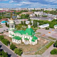
Holy Trinity Church
526 m
Колокольный завод Пятков и Ко
858 m
Каменный мост
90 m
Stone bridge
93 m
Дом врача В. А. Скворцова
323 m
Усадьба купца Воробьёва (1901)
735 m
Дом мещанина Тронина (1910)
476 m
A time capsule for the next generation
506 m
Героям и жертвам гражданской войны 1918-1921гг.
537 m
Жертвам политических репрессий
608 m
Памятник водопроводчику
479 mReviews
Visited this place? Tap the stars to rate it and share your experience / photos with the community! Try now! You can cancel it anytime.
Discover hidden gems everywhere you go!
From secret cafés to breathtaking viewpoints, skip the crowded tourist spots and find places that match your style. Our app makes it easy with voice search, smart filtering, route optimization, and insider tips from travelers worldwide. Download now for the complete mobile experience.

A unique approach to discovering new places❞
— Le Figaro
All the places worth exploring❞
— France Info
A tailor-made excursion in just a few clicks❞
— 20 Minutes