Курганный могильник Кок-Паш
Location: Челушманское сельское поселение
GPS coordinates: 51.17829,87.76779
Latest update: July 24, 2025 10:02
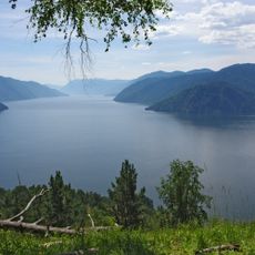
Teletskoe
39.2 km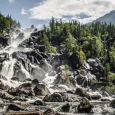
Altai Nature Reserve
87.2 km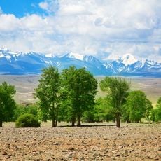
Golden Mountains of Altai
147.4 km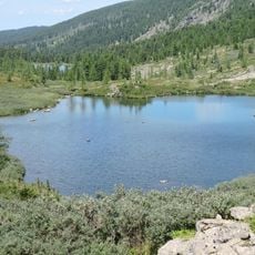
Karakolskie Lakes
102.1 km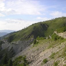
Chike-Taman Pass
118.2 km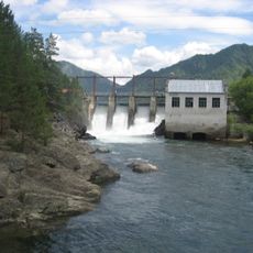
Chemal hydroelectric power plant
125 km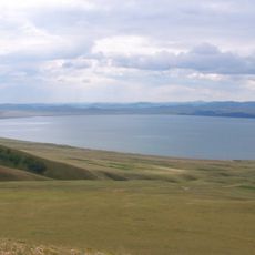
Khakasski Nature Reserve
137.6 km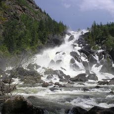
Uchar waterfall
23.7 km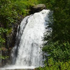
Korbu Waterfall
59 km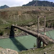
Inya Bridge
113.7 km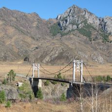
Oroktoysky Bridge
112 km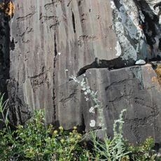
Kalbak-Tash
109.2 km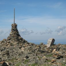
Sarlyk
142.5 km
Petroglyphs of the Yelangash Valley
149.4 km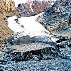
Малый Актуру
125.6 km
Begemot Rapid
99.9 km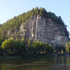
Iconostas cliff
139.1 km
Gorizont Rapid
112.7 km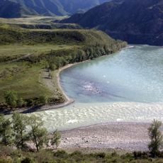
Chuya and Katun Rivers Confluence
116.4 km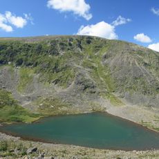
Tuyuksky lakes
142.4 km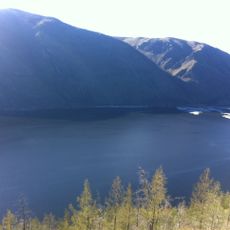
Kara-Khol
122.5 km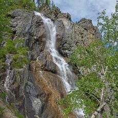
Shirlak Waterfall
100.6 km
Turbinny Rapid
112.2 km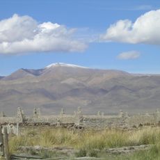
Tabazhok
143.8 km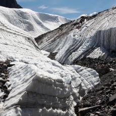
Maashei glacier
122 km
Велика Білобомська печера
103.3 km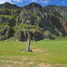
Chuysky deer stone, Iodro
106.2 km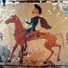
Treasures of the Pazyryk Culture
141.6 kmReviews
Visited this place? Tap the stars to rate it and share your experience / photos with the community! Try now! You can cancel it anytime.
Discover hidden gems everywhere you go!
From secret cafés to breathtaking viewpoints, skip the crowded tourist spots and find places that match your style. Our app makes it easy with voice search, smart filtering, route optimization, and insider tips from travelers worldwide. Download now for the complete mobile experience.

A unique approach to discovering new places❞
— Le Figaro
All the places worth exploring❞
— France Info
A tailor-made excursion in just a few clicks❞
— 20 Minutes