Kreuzweg
Location: Göstling an der Ybbs
GPS coordinates: 47.80383,14.92805
Latest update: October 11, 2024 01:52
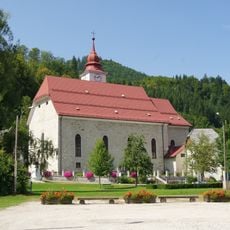
Pfarrkirche Göstling an der Ybbs
497 m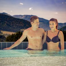
Ybbstaler Solebad
818 m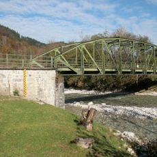
Straßenbrücke, Ybbsbrücke
989 m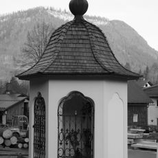
Nepomukstatue (Nepumukkapelle)
65 m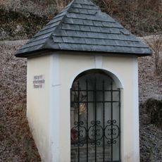
Wegkapelle
687 m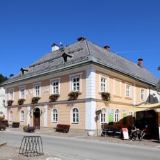
Rathaus Göstling an der Ybbs
525 m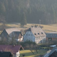
Bauernhof (Anlage) Schmidlehen (Wohnhaus und Kasten)
434 m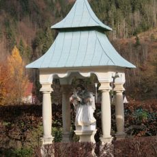
Figurenbildstock hl. Johannes Nepomuk
713 m
Straßenbrücke, Ybbsbrücke
989 m
Straßenbrücke, Ybbsbrücke
971 m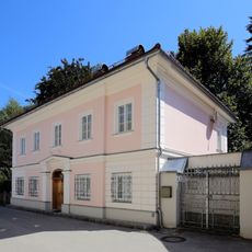
Ehem. Rothschild´sches Forstamtshaus mit Nebengebäude
493 m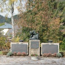
Kriegerdenkmal
537 m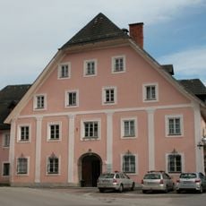
Fürstenhaus bzw. ehem. Rothschildsches Kinderasyl
565 m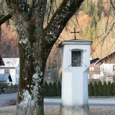
Bildstock
754 m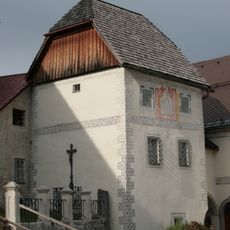
Pfarrstöckl, sog. Karner
515 m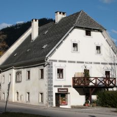
Faßziehhammerhaus
198 m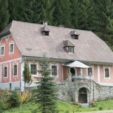
Sog. Kellerhaus, Rothschild'sche Forstverwaltung
467 m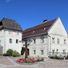
Pfarrhof
543 m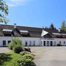
Ehem. Feuerwehrdepot, ehem. Stall
530 m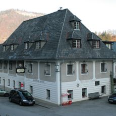
Gasthof Zur blauen Traube mit Wirtschaftsgebäude
147 m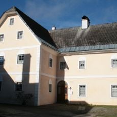
Ehem. Herrenhaus Unterbach
943 m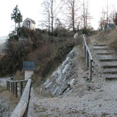
Kalvarienberg
36 m
Wayside shrine
72 m
Memorial, war memorial
537 m
Wayside shrine
410 m
Kogler wasserfall
1.1 km
Kogler wasserfall
1.3 km
Kogler wasserfall
1.3 kmReviews
Visited this place? Tap the stars to rate it and share your experience / photos with the community! Try now! You can cancel it anytime.
Discover hidden gems everywhere you go!
From secret cafés to breathtaking viewpoints, skip the crowded tourist spots and find places that match your style. Our app makes it easy with voice search, smart filtering, route optimization, and insider tips from travelers worldwide. Download now for the complete mobile experience.

A unique approach to discovering new places❞
— Le Figaro
All the places worth exploring❞
— France Info
A tailor-made excursion in just a few clicks❞
— 20 Minutes