
Drei Bezirke Stein
Location: Luftenberg an der Donau
GPS coordinates: 48.24839,14.40888
Latest update: May 13, 2025 08:04
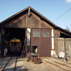
Florianerbahn
3.1 km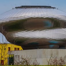
Paneum
3.6 km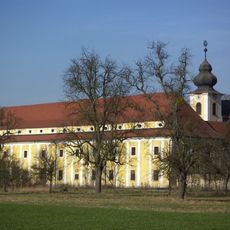
Kloster Pulgarn
3.7 km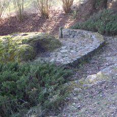
Berglitzl
3.7 km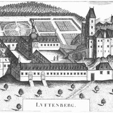
Burgruine Luftenberg
2.4 km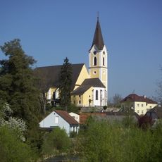
Parish church in St. Georgen an der Gusen
3.8 km
Pfarrkirche Solarcity
3.8 km
Schloss Luftenberg
2.4 km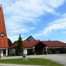
St. Paul (Pichling in Linz)
3.2 km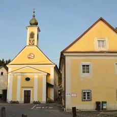
Pfarrkirche Asten
3.2 km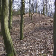
Wallburg auf dem Luftenberg
1.6 km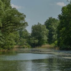
Traun-Donau-Auen
3.4 km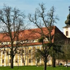
Klosterkirche Hl. Geist
3.7 km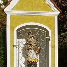
Flur-/Wegkapelle, Figur
4 km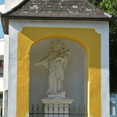
Johannes-Nepomuk-Kapelle
2.8 km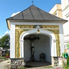
Kapelle
3.8 km
Teile der Bahntrasse, Schleppbahn Normalspur mit der Schleppbahnbrücke
3.6 km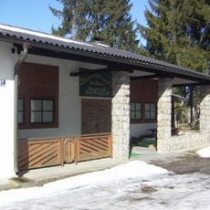
Schützenheim, ehem. SS-Schießstand mit Stützmauer
3.9 km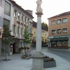
Mariensäule
3.9 km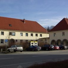
DEST-Verwaltungsgebäude und Wohnhaus
4.1 km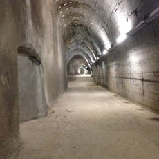
Stollenanlage „Bergkristall“
3.4 km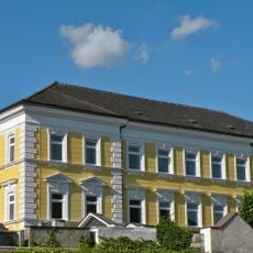
Schule
3.8 km
Wohnhaus, ehem. Pfarrhof
3.2 km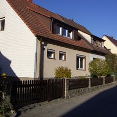
Doppelwohnhaus
4.1 km
Aufzeigerdeckungen des ehem. SS-Schießstandes
3.9 km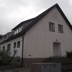
Doppelwohnhaus
4.1 km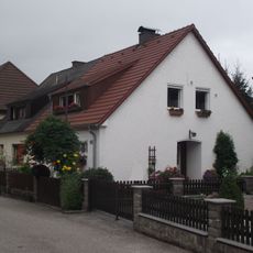
Doppelwohnhaus
4.1 km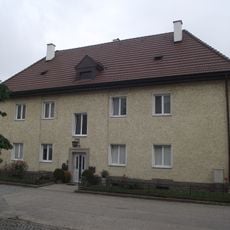
Wohnhaus
4.1 kmReviews
Visited this place? Tap the stars to rate it and share your experience / photos with the community! Try now! You can cancel it anytime.
Discover hidden gems everywhere you go!
From secret cafés to breathtaking viewpoints, skip the crowded tourist spots and find places that match your style. Our app makes it easy with voice search, smart filtering, route optimization, and insider tips from travelers worldwide. Download now for the complete mobile experience.

A unique approach to discovering new places❞
— Le Figaro
All the places worth exploring❞
— France Info
A tailor-made excursion in just a few clicks❞
— 20 Minutes