Waldandacht
Location: Bad Fischau-Brunn
GPS coordinates: 47.83822,16.15367
Latest update: November 13, 2025 06:51
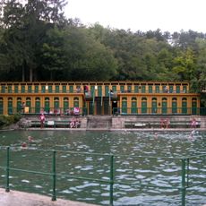
Thermalbad, Bad Fischau
1.1 km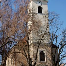
Pfarrkirche hl. Martin, Bad Fischau
1.1 km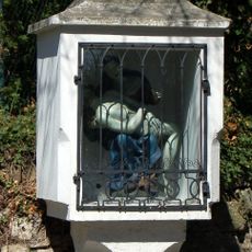
Bildstock
1.1 km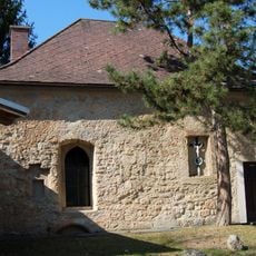
Ehem. Karner
1.1 km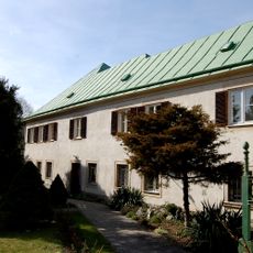
Pfarrhof
1 km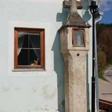
Bildstock
953 m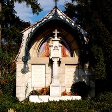
Familiengrabmal Jäger
1.1 km
Wayside cross
654 m
Wichmanndenkmal
926 m
Leopold V.
953 m
Blickplatz Blumberg
724 m
Scenic viewpoint
548 m
Scenic viewpoint
371 m
Kaiserstein
719 m
Froschkönig
549 m
Kaisereiche
717 m
Wayside shrine
525 m
Memorial
326 m
Rudirast
556 m
Georg Pasaurek Gedenkstein
758 m
Archaeological site
1 km
Archaeological site
1.1 km
Archaeological site
893 m
Archaeological site
1.1 km
Archaeological site
681 m
Archaeological site
735 m
Archaeological site
661 m
Franz Schubert
997 mReviews
Visited this place? Tap the stars to rate it and share your experience / photos with the community! Try now! You can cancel it anytime.
Discover hidden gems everywhere you go!
From secret cafés to breathtaking viewpoints, skip the crowded tourist spots and find places that match your style. Our app makes it easy with voice search, smart filtering, route optimization, and insider tips from travelers worldwide. Download now for the complete mobile experience.

A unique approach to discovering new places❞
— Le Figaro
All the places worth exploring❞
— France Info
A tailor-made excursion in just a few clicks❞
— 20 Minutes