Teufelsboding
Location: St. Martin im Mühlkreis
GPS coordinates: 48.38629,14.04718
Latest update: November 14, 2025 09:07
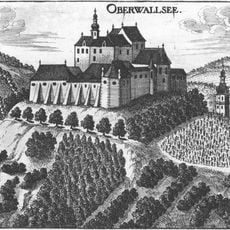
Ruine Oberwallsee
2.2 km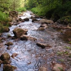
Pesenbachtal
162 m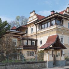
Smattosch-Villa
2.3 km
Finkenhaus, Vornholz 24
2.3 km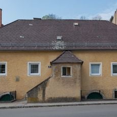
Wohnhaus
2.2 km
Wohnhaus, Schiffmeistershaus
2.2 km
Wohnhaus, Schlosserhaus
2.2 km
Wohnhaus, Huberhaus
2.1 km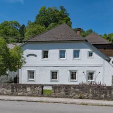
Wohnhaus, Steinmetzhaus
2.1 km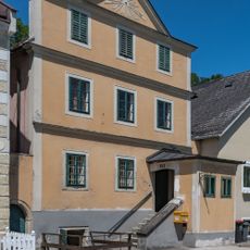
Wohnhaus
2.2 km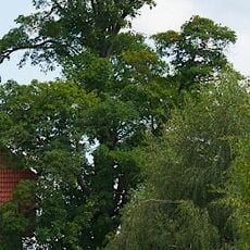
Bergahorn von Mühllacken
668 m
Amtsgebäude, Steinbruchschmiede
2 km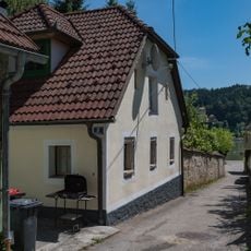
Wohnhaus
2.3 km
Wayside cross
1.8 km
Waldandacht
2 km
Grabenbauernkanzel
611 m
Hofratskanzel
833 m
Wayside shrine
1.8 km
Wayside shrine
822 m
Gaißkirche (Felsen)
1.6 km
Kerzenstein
115 m
Wayside shrine
1.7 km
Zehnertrauner
1.9 km
Wayside cross
1.4 km
Wayside cross
766 m
Wayside shrine
1.3 km
Wayside cross
1.5 km
Wayside shrine
1.8 kmReviews
Visited this place? Tap the stars to rate it and share your experience / photos with the community! Try now! You can cancel it anytime.
Discover hidden gems everywhere you go!
From secret cafés to breathtaking viewpoints, skip the crowded tourist spots and find places that match your style. Our app makes it easy with voice search, smart filtering, route optimization, and insider tips from travelers worldwide. Download now for the complete mobile experience.

A unique approach to discovering new places❞
— Le Figaro
All the places worth exploring❞
— France Info
A tailor-made excursion in just a few clicks❞
— 20 Minutes