Grubenhunt
Location: Mannersdorf am Leithagebirge
GPS coordinates: 47.96479,16.59799
Latest update: November 14, 2025 10:34
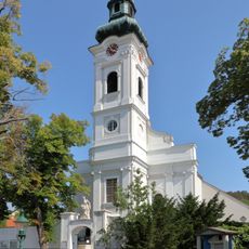
Martinskirche
668 m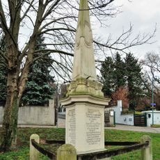
Ereignisdenkmal, Maria-Theresien-Obelisk
415 m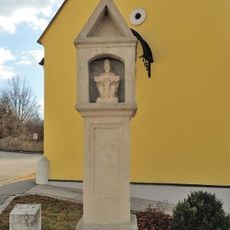
Bildstock
698 m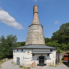
Lime kiln „BAXA“, Mannersdorf an der Leitha
245 m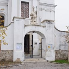
Friedhofsportal mit Figur hl. Martin, Umfassungsmauer und 3 Grabdenkmälern
683 m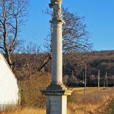
Mariensäule
498 m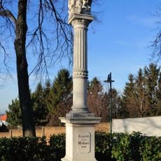
Figurenbildstock
697 m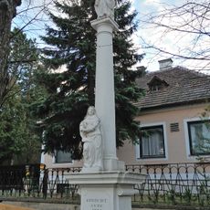
Figurenbildstock
371 m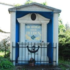
Kriegerdenkmal in Mannersdorf am Leithagebirge
680 m
Land Art
522 m
Scenic viewpoint
472 m
Bohrer
28 m
Hl. Barbara
170 m
Bildhauersymposion
240 m
Dampfwalze
7 m
Work of art, painting
213 m
Fenster
630 m
Scenic viewpoint
615 m
Hängebahnwagen
9 m
Scenic viewpoint
620 m
Scenic viewpoint
82 m
Klettnerkreuz
642 m
Steinmetzkreuz
77 m
Wayside shrine, Christianity
21 m
Wayside cross
122 m
Karl und Fred Wonisch
213 m
Wayside shrine
432 m
Wayside cross
642 mReviews
Visited this place? Tap the stars to rate it and share your experience / photos with the community! Try now! You can cancel it anytime.
Discover hidden gems everywhere you go!
From secret cafés to breathtaking viewpoints, skip the crowded tourist spots and find places that match your style. Our app makes it easy with voice search, smart filtering, route optimization, and insider tips from travelers worldwide. Download now for the complete mobile experience.

A unique approach to discovering new places❞
— Le Figaro
All the places worth exploring❞
— France Info
A tailor-made excursion in just a few clicks❞
— 20 Minutes