
Transit through Ukrainian territory between two parts of Belarus
Location: Олевська міська громада
GPS coordinates: 51.62250,27.85033
Latest update: October 29, 2025 16:20
Polissya Nature Reserve
20.2 km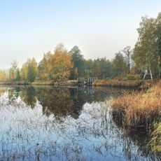
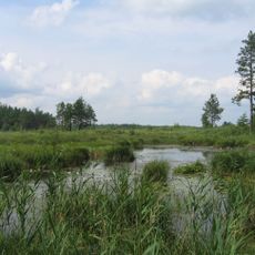
Didove Ozero hydrological sanctuary
28.7 km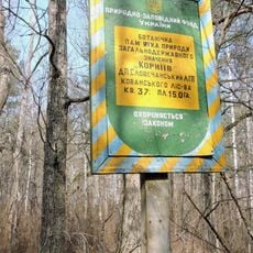
Korniiv botanical natural monument
34.5 km
Poiaskivskyi forestry preserve
32.1 km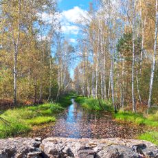
Plotnytsia
30.1 km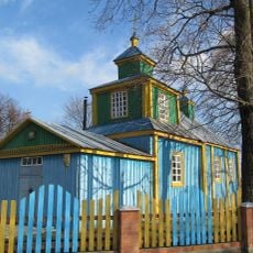
Свята-Пакроўская царква, Прыбалавічы
6 km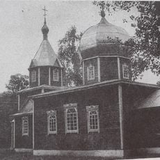
Свята-Успенская царква
6.8 km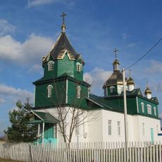
Свята-Троіцкая царква
8.3 km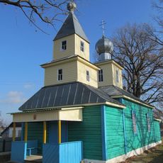
Свята-Георгіеўская царква
17.5 km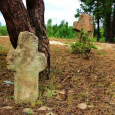
Hlynne
32 km
Юзефінський дуб
33.5 km
Scenic viewpoint
16.3 km
Каменная баба
19.4 km
Каменная баба
19.1 km
ДАП 732 М-2
35.2 km
ДОТ
33.4 km
Журавлине болото
18.9 km
Цар-дуб
22.3 km
Карʼер
10 km
Каменны крыж
6 km
Scenic viewpoint
17.2 km
Scenic viewpoint
25.2 km
Monument
30.9 km
Мемарыяльны комплекс ахвярам фашызму
23.3 km
Жанчына ў смутку
7.8 km
Memorial
32.9 km
Memorial
21.8 km
Memorial
6.8 kmVisited this place? Tap the stars to rate it and share your experience / photos with the community! Try now! You can cancel it anytime.
Discover hidden gems everywhere you go!
From secret cafés to breathtaking viewpoints, skip the crowded tourist spots and find places that match your style. Our app makes it easy with voice search, smart filtering, route optimization, and insider tips from travelers worldwide. Download now for the complete mobile experience.

A unique approach to discovering new places❞
— Le Figaro
All the places worth exploring❞
— France Info
A tailor-made excursion in just a few clicks❞
— 20 Minutes