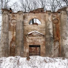
Руіны бровара
Location: Раваніцкі сельскі Савет
GPS coordinates: 53.86702,28.49453
Latest update: November 15, 2025 07:35
Category:Church of St Anthony of Padua in Rahachow
7.8 km
Country estate of Slotvinskie
8.1 km
Мемарыяльны комплекс партызанскай брыгады «Разгром»
8.8 km
Вінакурня
597 m
Карова
10.4 km
Касцёл Святога Антонія Падуанскага
7.8 km
Scenic viewpoint
10.7 km
Scenic viewpoint
8.9 km
Руіны Сядзібы
630 m
Помнік
5.1 km
Помнік
12.3 km
Курган
8.1 km
Помнік
6.9 km
Помнік
7.1 km
Помнік
8.5 km
Помнік
6.3 km
Курган
11.2 km
Помнік
10.7 km
Помнік
10.6 km
Помнік
11.4 km
Зямлянка (был.)
8.9 km
Monument
11.6 km
Memorial
8.2 km
Мемарыяльныя камяні
8.8 km
Зямлянка
8.8 km
Memorial, war memorial
7.7 km
Помнік партызанам
7.1 km
Memorial, war memorial
7.3 kmVisited this place? Tap the stars to rate it and share your experience / photos with the community! Try now! You can cancel it anytime.
Discover hidden gems everywhere you go!
From secret cafés to breathtaking viewpoints, skip the crowded tourist spots and find places that match your style. Our app makes it easy with voice search, smart filtering, route optimization, and insider tips from travelers worldwide. Download now for the complete mobile experience.

A unique approach to discovering new places❞
— Le Figaro
All the places worth exploring❞
— France Info
A tailor-made excursion in just a few clicks❞
— 20 Minutes