
Будынак пач.20ст.
Location: Свірскі сельскі Савет
GPS coordinates: 54.90083,26.40258
Latest update: October 11, 2024 02:14
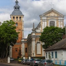
Church of Saint Nicholas in Svir
5.3 km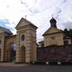
Church of the Nativity of the Virgin Mary in Kanstancinava
3.4 km
Касцёл Унебаўзяцця Найсвяцейшай Панны Марыі
3.3 km
Паравоз
229 m
Brama XIXw.
242 m
Zespół dworsko-parkowy Starżyńskich
368 m
Комплекс былой сядзібы, канец XIX ст.-пачатак XX ст.
393 m
Dwór
412 m
Wayside cross
464 m
Будынак школы
1 km
Wayside cross
2.1 km
Stary cmentarz katolicki, Kaplica
3 km
Cmentarz niemiecki
3 km
Свіран
233 m
Dwór gospodarczy
3.3 km
Помнік 29 землякам загінуўшым у 2-й сусветнай вайне
238 m
Zespół dworsko-parkowy Domejków
3.7 km
Сядзіба
3.7 km
Старая гаспадарчая пабудова
4 km
Kaplica
4.7 km
Веймутава сасна
4.7 km
Крыж
4.7 km
Winiarnia
4.7 km
Брацкая магіла
5.3 km
Wayside shrine, house of prayer, place of worship
5.3 km
Place of worship, wayside shrine, house of prayer
5.3 km
Майстэрня пач.20ст.
138 m
Place of worship, wayside shrine, house of prayer
5.3 kmReviews
Visited this place? Tap the stars to rate it and share your experience / photos with the community! Try now! You can cancel it anytime.
Discover hidden gems everywhere you go!
From secret cafés to breathtaking viewpoints, skip the crowded tourist spots and find places that match your style. Our app makes it easy with voice search, smart filtering, route optimization, and insider tips from travelers worldwide. Download now for the complete mobile experience.

A unique approach to discovering new places❞
— Le Figaro
All the places worth exploring❞
— France Info
A tailor-made excursion in just a few clicks❞
— 20 Minutes