Archeologisch grafveld
Location: Wijshagen
Location: Oudsbergen
GPS coordinates: 51.09988,5.55132
Latest update: November 12, 2025 19:01
Meeuwen-Gruitrode
2.4 km
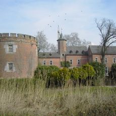
Commanderij van Gruitrode
3.1 km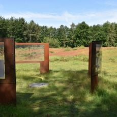
Archaeological park de Rieten
70 m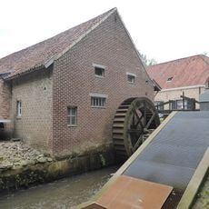
Hoogmolen
3.8 km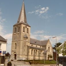
Sint-Gertrudiskerk
2.8 km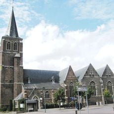
Sint-Martinuskerk
2.1 km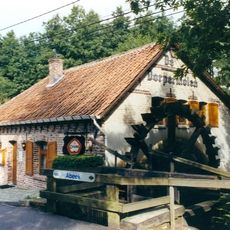
Dorpermolen
2.7 km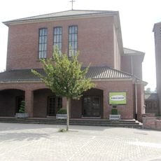
Sint-Harlindus en Relinduskerk
3.9 km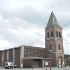
Onze-Lieve-Vrouw-ten-Hemelopnemingskerk
953 m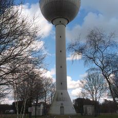
Watertoren
3.3 km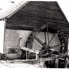
Berenheidemolen
3.5 km
Bernheideschans
3.3 km
Work of art, painting
2.3 km
Wayside shrine
3.8 km
De Dorpermolen
2.7 km
Sculpture, Work of art
2.9 km
Work of art, sculpture
3.8 km
Memorial
2.1 km
Wayside shrine, Christianity, house of prayer, Catholic church building, place of worship
3 km
H.Hartbeeld
3.9 km
Plockroy schans
3.2 km
Wayside cross
3.6 km
Lancaster 22-06-1944
1.9 km
Catholic church building, wayside shrine, Christianity
3.7 km
Sint-Niklaasdag 1648
2.1 km
Wayside cross, Christianity, Catholic church building
2.4 km
Catholic church building, wayside cross, Christianity
2 km
Monument
3.9 kmReviews
Visited this place? Tap the stars to rate it and share your experience / photos with the community! Try now! You can cancel it anytime.
Discover hidden gems everywhere you go!
From secret cafés to breathtaking viewpoints, skip the crowded tourist spots and find places that match your style. Our app makes it easy with voice search, smart filtering, route optimization, and insider tips from travelers worldwide. Download now for the complete mobile experience.

A unique approach to discovering new places❞
— Le Figaro
All the places worth exploring❞
— France Info
A tailor-made excursion in just a few clicks❞
— 20 Minutes