Table d'interprettation
Location: Sagnes-et-Goudoulet
GPS coordinates: 44.77931,4.21745
Latest update: October 15, 2025 21:43
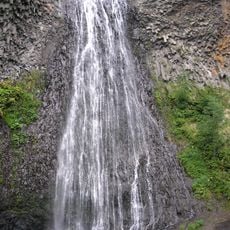
Cascade du Ray-Pic
4.3 km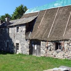
Ferme de Clastres
4.1 km
Ferme La Petite Grangeasse
2.7 km
Ferme-auberge de Sagnes-et-Goudoulet
1.4 km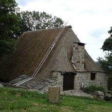
Ferme Pra-Plot
2.8 km
Ferme Peyronnet
2.1 km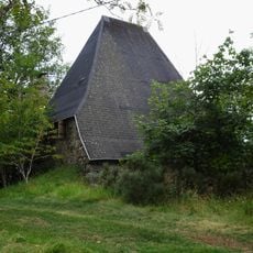
Ferme La Grangeasse
2.5 km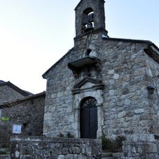
Église Saint-Régis de Péreyres
3 km
Église Saint-Robert de Sagnes-et-Goudoulet
1.4 km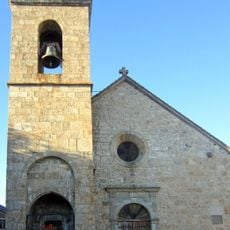
Église Sainte-Eulalie de Sainte-Eulalie
4 km
Scenic viewpoint
4.2 km
Scenic viewpoint
4.2 km
Scenic viewpoint
4.2 km
Toposcope, scenic viewpoint
6 m
Scenic viewpoint, toposcope
3.5 km
Toposcope, scenic viewpoint
3.5 km
Scenic viewpoint
3.9 km
Belvedere Du Ray Pic
4.1 km
Toposcope, scenic viewpoint
4 km
Wayside cross
1.5 km
Monument
4 km
Calvaire de Burzet
4.1 km
Waterfall
4.1 km
La tour à eau
4 km
Work of art, installation artwork
3 km
Calvaire
1.9 km
Sculpture, Work of art
1.2 km
Work of art, sculpture
1.2 kmReviews
Visited this place? Tap the stars to rate it and share your experience / photos with the community! Try now! You can cancel it anytime.
Discover hidden gems everywhere you go!
From secret cafés to breathtaking viewpoints, skip the crowded tourist spots and find places that match your style. Our app makes it easy with voice search, smart filtering, route optimization, and insider tips from travelers worldwide. Download now for the complete mobile experience.

A unique approach to discovering new places❞
— Le Figaro
All the places worth exploring❞
— France Info
A tailor-made excursion in just a few clicks❞
— 20 Minutes