Trampoline
Location: Les Avanchers-Valmorel
GPS coordinates: 45.46115,6.44174
Latest update: November 14, 2025 14:50
Cheval Noir
4.9 km
Église Saint-André de Doucy
4.9 km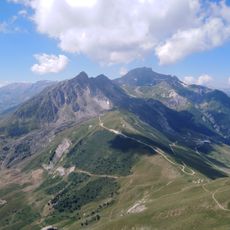
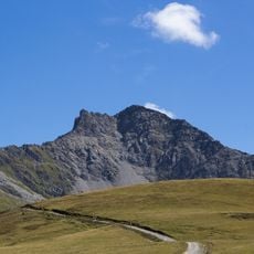
Crève-Tête
2.3 km
Pointe de Crève-Tête
2.3 km
Pointe du Mottet
4.1 km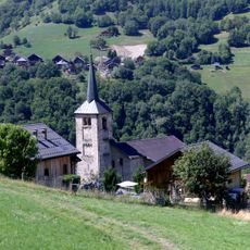
Église Saint-André des Avanchers
2.2 km
Colonne féodale des Avanchers
2.4 km
Toposcope, scenic viewpoint
4.4 km
Gelaz
1.4 km
Table d'orientation
1.8 km
Roche de l'aigle
4.6 km
Rocher des Ravières
4.7 km
Photo Point
2.9 km
Scenic viewpoint
3.7 km
Tyrolienne
1.9 km
VLMO_01
946 m
VLMO_02
2.1 km
Work of art
4.9 km
Belvédère des Chamois
4.7 km
Source des Boches
4.4 km
Calvaire
1.2 km
Catholic church building, wayside cross, Christianity
1.3 km
Catholic church building, wayside cross, Christianity
301 m
Stèle RTM
3.6 km
Waterfall
3.3 km
Cascade du Morel
4.9 km
Cascade du Péchet
2.6 km
Cascades du Morel
2.4 kmReviews
Visited this place? Tap the stars to rate it and share your experience / photos with the community! Try now! You can cancel it anytime.
Discover hidden gems everywhere you go!
From secret cafés to breathtaking viewpoints, skip the crowded tourist spots and find places that match your style. Our app makes it easy with voice search, smart filtering, route optimization, and insider tips from travelers worldwide. Download now for the complete mobile experience.

A unique approach to discovering new places❞
— Le Figaro
All the places worth exploring❞
— France Info
A tailor-made excursion in just a few clicks❞
— 20 Minutes