Ferme de La Rouerie Chevrerie
Location: Saint-Berthevin-la-Tannière
GPS coordinates: 48.39160,-0.92779
Latest update: November 23, 2025 16:18
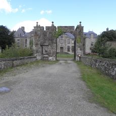
Château de Montflaux
5 km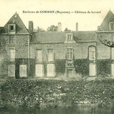
Château de Levaré
2.9 km
Église Notre-Dame de Montaudin
4.6 km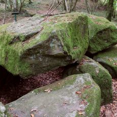
Dolmen de la Contrie
7.2 km
Château de la Pihoraye
6.5 km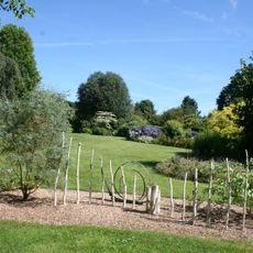
Les jardins des Renaudies
4.7 km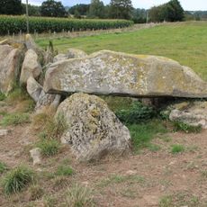
Allée couverte de la Tardivière
7.1 km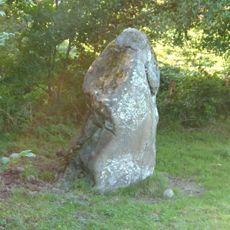
Menhir de la Boussardière
3.5 km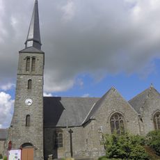
Église Saint-Crépin-et-Saint-Crépinien de Larchamp
6.2 km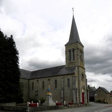
Église de l'Immaculée-Conception de Hercé
6.3 km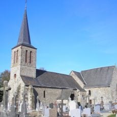
Église de Saint-Berthevin-la-Tannière
1.8 km
Église Saint-Éloi de Colombiers-du-Plessis
6.4 km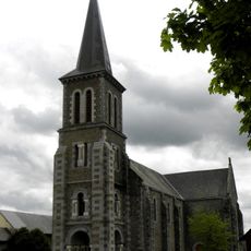
Église Notre-Dame-de-l'Assomption de La Dorée
6.9 km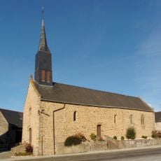
Chapelle des Haies
4.7 km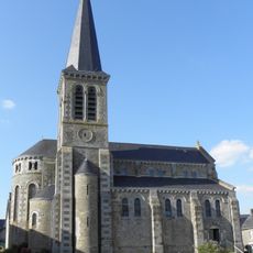
Église Saint-Jean-Baptiste de Carelles
2 km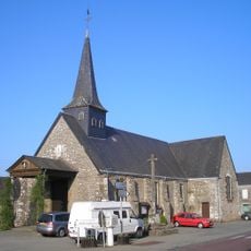
Église Saint-Victeur de Levaré
3.1 km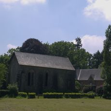
Prieuré Saint-Médard de la Futaie
6.9 km
Monument aux Morts
4.6 km
Le Château du Lac
4.5 km
Wayside cross
4.6 km
Memorial, war memorial
6.5 km
Memorial, war memorial
3.1 km
War memorial, memorial
6.3 km
Allée couverte dite Hutte-aux-Gabelous
4.7 km
Dolmen de la Pierre
5.9 km
Wayside cross
6.4 km
Memorial, war memorial
6.5 km
Wayside cross
3.1 kmReviews
Visited this place? Tap the stars to rate it and share your experience / photos with the community! Try now! You can cancel it anytime.
Discover hidden gems everywhere you go!
From secret cafés to breathtaking viewpoints, skip the crowded tourist spots and find places that match your style. Our app makes it easy with voice search, smart filtering, route optimization, and insider tips from travelers worldwide. Download now for the complete mobile experience.

A unique approach to discovering new places❞
— Le Figaro
All the places worth exploring❞
— France Info
A tailor-made excursion in just a few clicks❞
— 20 Minutes