Cascade
Location: Saint-Michel-de-Chabrillanoux
GPS coordinates: 44.82634,4.60278
Latest update: November 13, 2025 21:53
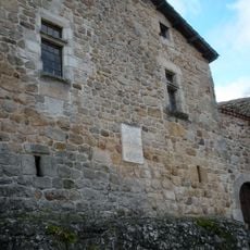
Maison de Pierre et Marie Durand
4.8 km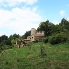
Château de Hautvillars
3.7 km
Pont sur l'Eyrieux
5.9 km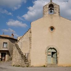
Church of Saint-Vincent-de-Durfort
4 km
Pié Lafont
4.4 km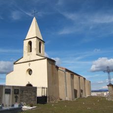
Église Saint-Étienne de Saint-Étienne-de-Serre
5.6 km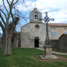
Église Saint-Michel de Saint-Michel-de-Chabrillanoux
1.6 km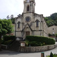
Temple protestant de l'Eglise Unie Les Ollières
2.6 km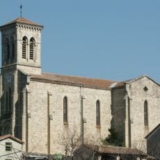
Église Saint-François-Régis des Ollières-sur-Eyrieux
2.8 km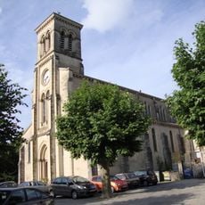
Église Saint-Fortunat de Saint-Fortunat-sur-Eyrieux
5.7 km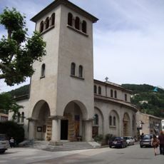
Église Saint-Sauveur de Saint-Sauveur-de-Montagut
1.9 km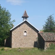
Temple de la Faurie
4.8 km
Protestant church
4 km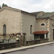
Temple de Saint-Sauveur-de-Montagut
2.1 km
Scenic viewpoint
5.2 km
Belvédère de l'Eyrieux
1.5 km
Scenic viewpoint, toposcope
1.5 km
Scenic viewpoint
4.5 km
Scenic viewpoint
4 km
Statue, Work of art
5.8 km
Work of art, sculpture
3.7 km
Castle
2.5 km
Wayside cross
2.8 km
Wayside cross
2.7 km
Château de Montagut
1.9 km
Catholic church building, wayside cross
4 km
Croix des Bans
4.4 km
Waterfall
3.8 kmReviews
Visited this place? Tap the stars to rate it and share your experience / photos with the community! Try now! You can cancel it anytime.
Discover hidden gems everywhere you go!
From secret cafés to breathtaking viewpoints, skip the crowded tourist spots and find places that match your style. Our app makes it easy with voice search, smart filtering, route optimization, and insider tips from travelers worldwide. Download now for the complete mobile experience.

A unique approach to discovering new places❞
— Le Figaro
All the places worth exploring❞
— France Info
A tailor-made excursion in just a few clicks❞
— 20 Minutes