Lavoir
Location: Lompnieu
Location: Valromey-sur-Séran
GPS coordinates: 45.96178,5.66180
Latest update: November 14, 2025 14:22
Puits des Tines
1.7 km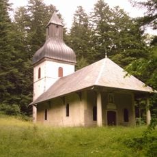
Chapel of Mazières
2.9 km
Église Saint-Laurent de Sutrieu
1.2 km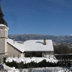
Église Saint-Michel de Lompnieu
113 m
Ruisseau du Culéu à Bassieu
2.1 km
Grotte du Pic
3.1 km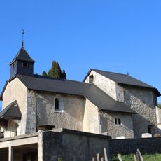
Chapelle de Lilignod
2.2 km
Aven de Sutrieu
2.8 km
Ruisseau du Séran à Lilignod
2.1 km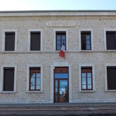
Town hall of Lompnieu
182 m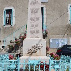
War memorial of Songieu
3.4 km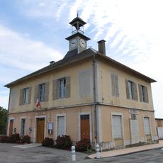
Mairie de Sutrieu
1.5 km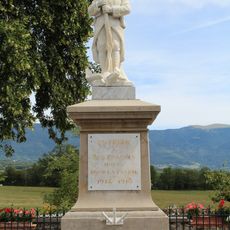
War memorial of Sutrieu
1.4 km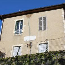
Former town hall of Lilignod
2.2 km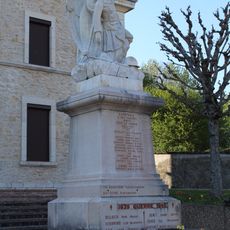
War memorial of Lompnieu
170 m
Town hall of Songieu
3.4 km
Belvédère de Planachat
2.6 km
Scenic viewpoint
2.5 km
Belvédère du Curnillon
3.2 km
Moulin
1.7 km
Wayside cross
3.3 km
Wayside cross
3.1 km
Wayside shrine, Christianity, Catholic church building, statue
3 km
Waterfall
3.2 km
Waterfall
3.1 km
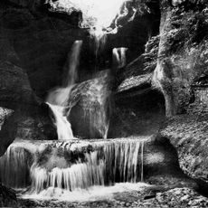
Cascade de la Grotte du Pic
3.1 km
Cascade de la Fontaine d'Argent
3 km
Waterfall
3.2 kmReviews
Visited this place? Tap the stars to rate it and share your experience / photos with the community! Try now! You can cancel it anytime.
Discover hidden gems everywhere you go!
From secret cafés to breathtaking viewpoints, skip the crowded tourist spots and find places that match your style. Our app makes it easy with voice search, smart filtering, route optimization, and insider tips from travelers worldwide. Download now for the complete mobile experience.

A unique approach to discovering new places❞
— Le Figaro
All the places worth exploring❞
— France Info
A tailor-made excursion in just a few clicks❞
— 20 Minutes