
Four de potier dit four chaînette
Location: La Chapelle-des-Pots
Operator: Mairie
Address: Rue de la Mairie 17100 La Chapelle-des-Pots 17100 La Chapelle-des-Pots
GPS coordinates: 45.75977,-0.54151
Latest update: November 7, 2025 17:40
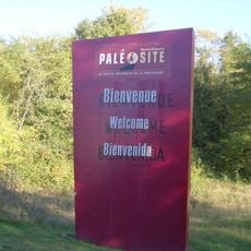
Paléosite de Saint-Césaire
2.8 km
Musée de la céramique saintongeaise
185 m
Tour de Saint-Sauvant
3.6 km
Église Saint-Sylvain de Saint-Sauvant
3.6 km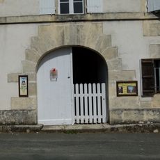
Musée des Bujoliers
2.8 km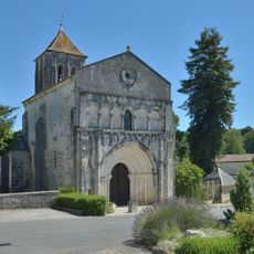
Église Saint-Césaire de Saint-Césaire
2.8 km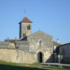
Église Saint-Brice de Saint-Bris-des-Bois
4 km
Four de potier Varoqueaux
175 m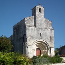
Église Saint-Vivien de Fontcouverte
4.2 km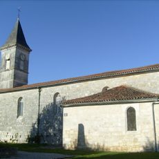
Église Saint-Front de La Chapelle-des-Pots
52 m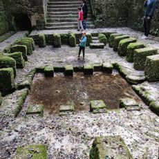
Fontaine de la Roche (Aqueduc de Saintes)
4.2 km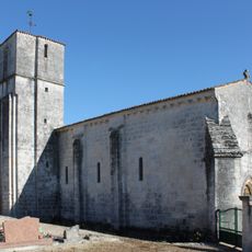
Église Sainte-Marie-de-l'Assomption de Vénérand
4 km
Memorial, Obelisk
4.2 km
Vestiges Moulin de l'étang
4.2 km
Vierge à l'enfant
4.2 km
Catholic church building, wayside cross, Christianity
4.1 km
Wayside cross, Christianity, Catholic church building
3.9 km
Site archéologique de la Roche à Pierrot
3 km
Ruins, private road
2 km
Vierge à l'enfant
4.2 km
Font Morillon (Aqueduc de Saintes)
3.9 km
Fontaine du Moulin (Aqueduc de Saintes)
4.2 km
Monuments aux morts
4.1 km
Wayside cross
3.2 km
Monument aux morts
2.8 km
Fontaine de la Roche (Aqueduc de Saintes)
4.2 km
Wayside cross
4 km
Lavoir
4.2 kmReviews
Visited this place? Tap the stars to rate it and share your experience / photos with the community! Try now! You can cancel it anytime.
Discover hidden gems everywhere you go!
From secret cafés to breathtaking viewpoints, skip the crowded tourist spots and find places that match your style. Our app makes it easy with voice search, smart filtering, route optimization, and insider tips from travelers worldwide. Download now for the complete mobile experience.

A unique approach to discovering new places❞
— Le Figaro
All the places worth exploring❞
— France Info
A tailor-made excursion in just a few clicks❞
— 20 Minutes