
St. Georgs kapell
Location: Sør-Varanger
Inception: January 1, 1565
GPS coordinates: 69.68980,29.37959
Latest update: October 25, 2025 00:45

Jegerbataljonen GSV
20.2 km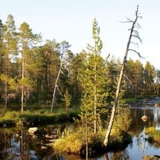
Vätsäri Wilderness Area
26.8 km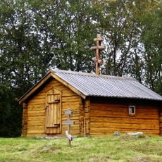
Saint George Chapel
10 m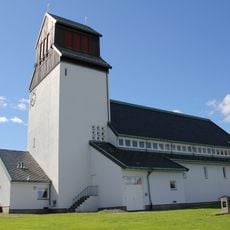
Kirkenes Church
26 km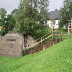
Andersgrotta
26.3 km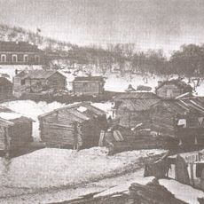
Saints Boris and Gleb Church (Borisoglebsky)
29.4 km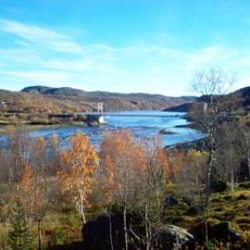
Bøkfjorden
26.6 km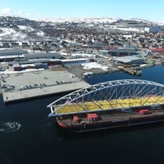
Bøkfjord Bridge
28.2 km
Saviomuseet
25.8 km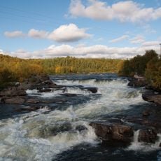
Skoltefossen
485 m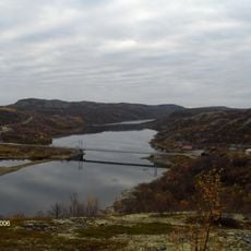
Elvenes Bridge
28.3 km
Rørbua
24.4 km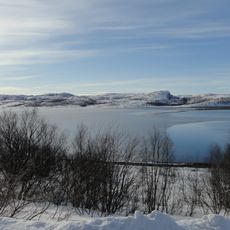
Neidenfjorden
10 km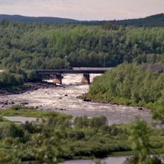
Neiden bru
473 m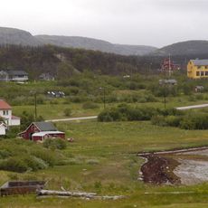
Bugøyfjorden
24 km
Grabben
23.5 km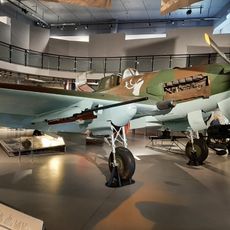
Varanger Museum, avd. Sør-Varanger
25.8 km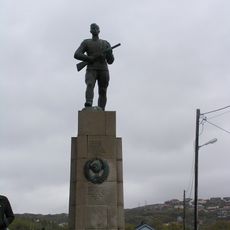
Russermonumentet
26.2 km
Påleparken
25.3 km
Russian Border
29.3 km
Prestefjellet
26.5 km
Scenic viewpoint
26.9 km
Scenic viewpoint
4.5 km
Scenic viewpoint
26.6 km
Scenic viewpoint
27.6 km
Scenic viewpoint
27.6 km
Scenic viewpoint
26.7 km
Scenic viewpoint
27 kmReviews
Visited this place? Tap the stars to rate it and share your experience / photos with the community! Try now! You can cancel it anytime.
Discover hidden gems everywhere you go!
From secret cafés to breathtaking viewpoints, skip the crowded tourist spots and find places that match your style. Our app makes it easy with voice search, smart filtering, route optimization, and insider tips from travelers worldwide. Download now for the complete mobile experience.

A unique approach to discovering new places❞
— Le Figaro
All the places worth exploring❞
— France Info
A tailor-made excursion in just a few clicks❞
— 20 Minutes