Черника
Location: Немішаївська селищна громада
GPS coordinates: 50.58501,29.95198
Latest update: November 14, 2025 06:13
Vorzel
15.1 km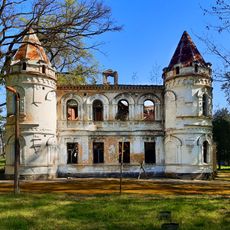
Stamm estate in Bucha, Kyiv Oblast
16.8 km
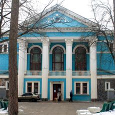
Countess Uvarova House, Vorzel
15 km
Zhukiv Khutir Reserve
14.7 km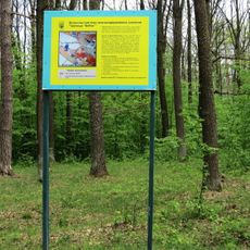
Babka natural monument
2.6 km
Krynychka Reserve
15.6 km
Makariv museum of local history and lore
17.5 km
Пам'ятник Данилові Тупталу
17.2 km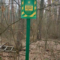
Urochyshche Puzha
5.1 km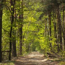
Storogivcy
14.6 km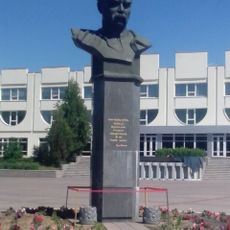
Taras Shevchenko
6.7 km
Конвалії
1.1 km
BIKINI
8 km
Tuliptree
15.7 km
Kiev Golf Club
12.6 km
Дуби
2.9 km
Kurgan
8.9 km
Черника
13.2 km
Бородянка
4.7 km
Church-ethnographic complex UKRAINS'KE SELO
16.9 km
БОРОДЯНКА
6.6 km
Пам'ятник картоплі
9.9 km
Пушка
10 km
Міньйони
10 km
Скульптура фонтан
17.4 km
Радянська жінка
1.9 km
Місце для споттінгу
16.9 km
Scenic viewpoint
14.5 kmReviews
Visited this place? Tap the stars to rate it and share your experience / photos with the community! Try now! You can cancel it anytime.
Discover hidden gems everywhere you go!
From secret cafés to breathtaking viewpoints, skip the crowded tourist spots and find places that match your style. Our app makes it easy with voice search, smart filtering, route optimization, and insider tips from travelers worldwide. Download now for the complete mobile experience.

A unique approach to discovering new places❞
— Le Figaro
All the places worth exploring❞
— France Info
A tailor-made excursion in just a few clicks❞
— 20 Minutes