
RIVER ACCESS sign
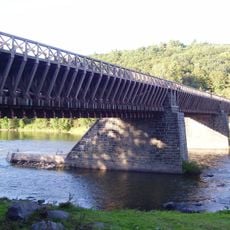
Roebling's Delaware Aqueduct
8.5 km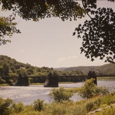
Upper Delaware Scenic and Recreational River
10.1 km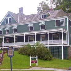
Zane Grey Museum
8.1 km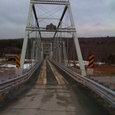
Skinners Falls–Milanville Bridge
13.3 km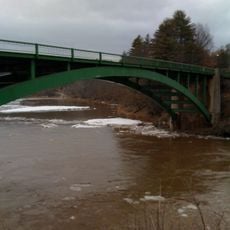
Narrowsburg–Darbytown Bridge
7.1 km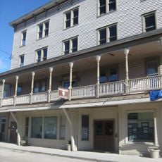
Arlington Hotel
7 km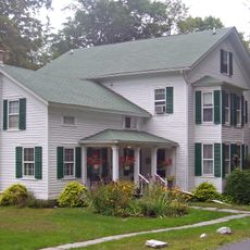
Delaware and Hudson Canal Company Office
8.3 km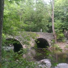
Tusten Stone Arch Bridge
220 m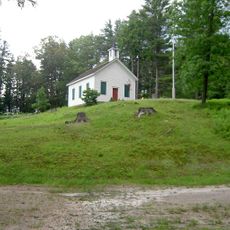
Ten Mile River Baptist Church
672 m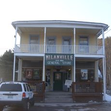
Milanville Historic District
13.5 km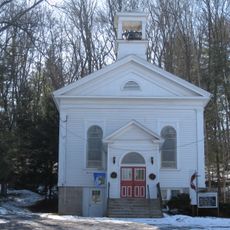
Narrowsburg Methodist Church
6.7 km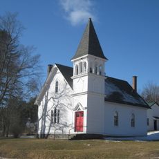
Cochecton Center Methodist Episcopal Church
11.7 km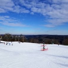
Big Bear Ski Resort
3.3 km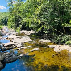
River access
99 m
Grassy track continues
4.9 km
Unmown path continues
8.8 km
Grassy track continues
4.3 km
Rattlesnake, 2018-7-1
4.3 km
Grassy track continues
5 km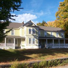
Spring House
11.9 km
Woodloch Pines Resort
7 km
Grassy track continues
4.4 km
Unmown path continues
8.9 km
Tree stand
7.1 km
Uncleared path continues
7.6 km
Tree stand
7.2 km
DVAA
7 km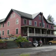
Shohola Glen Hotel
12.4 kmReviews
Visited this place? Tap the stars to rate it and share your experience / photos with the community! Try now! You can cancel it anytime.
Discover hidden gems everywhere you go!
From secret cafés to breathtaking viewpoints, skip the crowded tourist spots and find places that match your style. Our app makes it easy with voice search, smart filtering, route optimization, and insider tips from travelers worldwide. Download now for the complete mobile experience.

A unique approach to discovering new places❞
— Le Figaro
All the places worth exploring❞
— France Info
A tailor-made excursion in just a few clicks❞
— 20 Minutes