Raven's Logo
Location: Baltimore County
GPS coordinates: 39.39869,-76.83396
Latest update: October 26, 2025 11:30
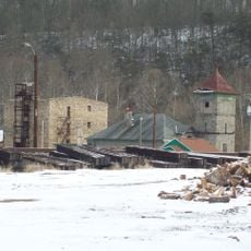
Daniels Mill
9.2 km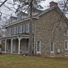
Choate House
3 km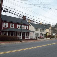
Reisterstown Historic District
7.3 km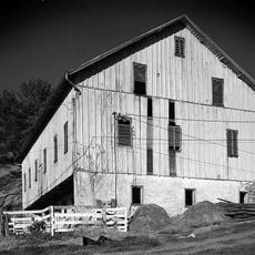
Caves Valley Historic District
8.8 km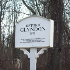
Glyndon Historic District
8.7 km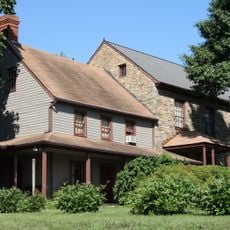
Moses Brown House
8.1 km
Granite Historic District
6.3 km
The Meadows
3.1 km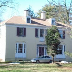
Wester Ogle
7.2 km
Branton Manor
5.3 km
Plinlimmon Farm
3 km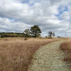
Soldiers Delight Natural Environment Area
1.4 km
Lower Elysville Bridge (1838)
9.4 km
Work of art, sculpture
2.8 km
Putney's Bridge
8.3 km
Work of art, sculpture
2.9 km
Work of art, sculpture
5.8 km
Work of art, sculpture
5.7 km
Work of art, sculpture
4.5 km
The Overlook
1.7 km
Ground Play
8.4 km
Old quarry filled with trash
8.1 km
Abandoned 1958 Cheverolet Bel Air
6.1 km
Cliff overlooking Quarry Lake
6.4 km
Liberty Dam Overlook
5.9 km
Liberty Dam
5.5 km
Abandoned Cars
8.8 km
Scenic viewpoint
1.9 kmReviews
Visited this place? Tap the stars to rate it and share your experience / photos with the community! Try now! You can cancel it anytime.
Discover hidden gems everywhere you go!
From secret cafés to breathtaking viewpoints, skip the crowded tourist spots and find places that match your style. Our app makes it easy with voice search, smart filtering, route optimization, and insider tips from travelers worldwide. Download now for the complete mobile experience.

A unique approach to discovering new places❞
— Le Figaro
All the places worth exploring❞
— France Info
A tailor-made excursion in just a few clicks❞
— 20 Minutes