
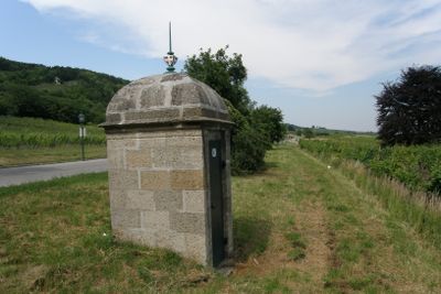
Teil der 1. Wiener Hochquellenleitung, Denkmalgeschütztes Objekt in Gumpoldskirchen (129207)
Location: Gumpoldskirchen
Part of: First Vienna Mountain Spring Pipeline
GPS coordinates: 48.04856,16.27880
Latest update: March 12, 2025 15:34
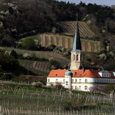
Deutschordensschloss Gumpoldskirchen
465 m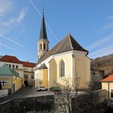
Pfarrkirche Gumpoldskirchen
435 m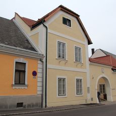
Moserhof Gumpoldskirchen
524 m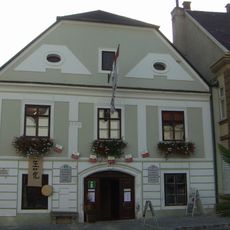
Bergerhaus Gumpoldskirchen
381 m
Feuerwehrmuseum Gumpoldskirchen
410 m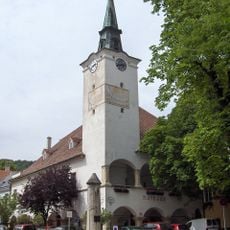
Gumpoldskirchen town hall
342 m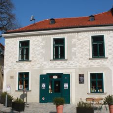
Schwarzer Adler, Gumpoldskirchen
333 m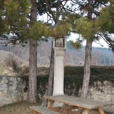
Bildstock
48 m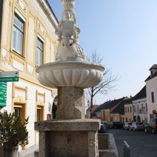
Brunnen
355 m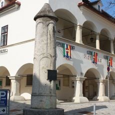
Pranger Gumpoldskirchen
353 m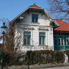
Villa/Landhaus
743 m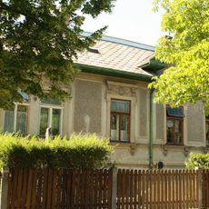
Villa/Landhaus
729 m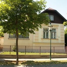
Villa/Landhaus
736 m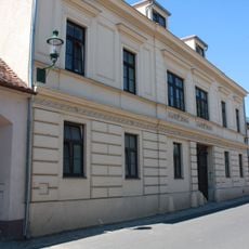
Unterer Melkerhof
472 m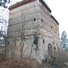
Kalkofen Gumpoldskirchen
467 m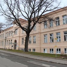
Elementary school in Gumpoldskirchen
305 m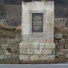
Josef Schöffel-Denkmal
58 m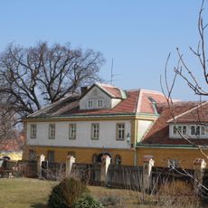
Pfarrhof Gumpoldskirchen
445 m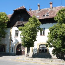
Winzergenossenschaft
450 m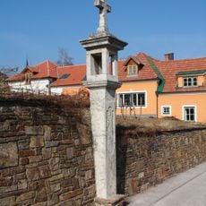
Bildstock
641 m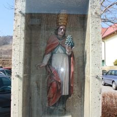
Figurenbildstock hl. Urban
551 m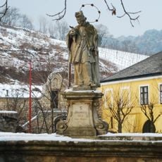
Brücke mit Nepomukstatue, Gumpoldskirchen
413 m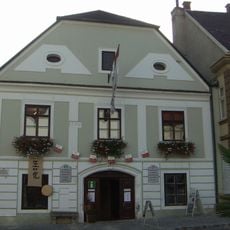
Weinbaumuseum Bergerhaus
381 m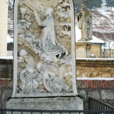
Ölbergrelief
389 m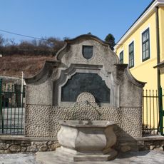
Wasserversorgungsanlage
410 m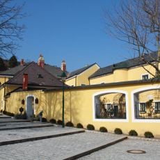
Berghof (Heurigenlokal Melkerhof)
373 m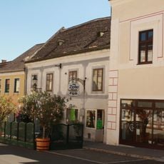
Bürgerhaus
394 m
Mang Karner-Hof
374 mVisited this place? Tap the stars to rate it and share your experience / photos with the community! Try now! You can cancel it anytime.
Discover hidden gems everywhere you go!
From secret cafés to breathtaking viewpoints, skip the crowded tourist spots and find places that match your style. Our app makes it easy with voice search, smart filtering, route optimization, and insider tips from travelers worldwide. Download now for the complete mobile experience.

A unique approach to discovering new places❞
— Le Figaro
All the places worth exploring❞
— France Info
A tailor-made excursion in just a few clicks❞
— 20 Minutes