
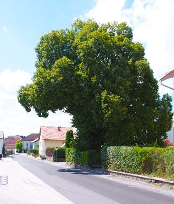
Sommerlinde in Gramastetten, natural monument of Upper Austria, Austria
Location: Urfahr-Umgebung District
GPS coordinates: 48.38066,14.19339
Latest update: March 5, 2025 20:26
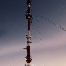
Émetteur de Lichtenberg
4.5 km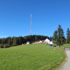
Gis
4.5 km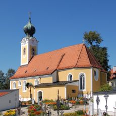
Catholic parish church St. Gotthard
4.5 km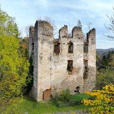
Rottenegg Castle
4.2 km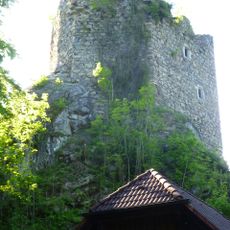
Burgruine Lichtenhag
1.3 km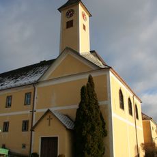
Neues Schloss
3.3 km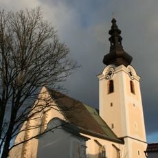
Gramastetten Parish Church
474 m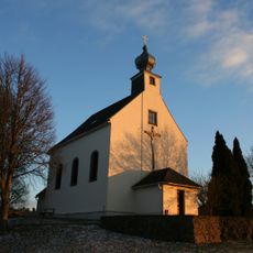
Kalvarienbergkirche Gramastetten
792 m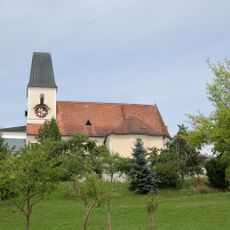
Pfarrkirche Walding
4 km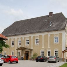
Wirt z' Walding
4.1 km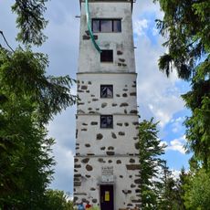
Giselawarte
4.5 km
Burgstall Mühlberg
3.4 km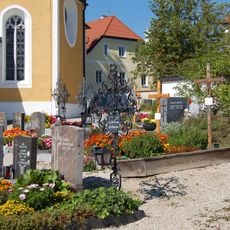
Friedhof St. Gotthard
4.5 km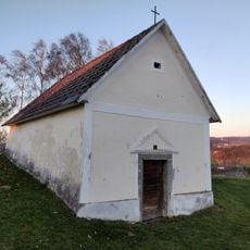
Grabkapelle Gramastetten
812 m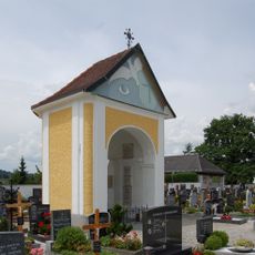
Friedhofskapelle Walding
4 km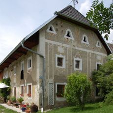
Feldmetzgerhaus
3.3 km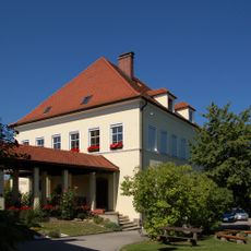
Volksschule St. Gotthard
4.5 km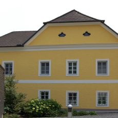
Pfarrhof Walding
4 km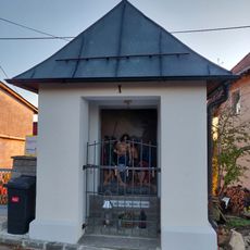
Stations of the Cross Gramastetten
773 m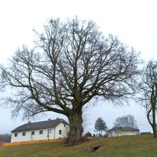
Linde in Eidenberg
4.2 km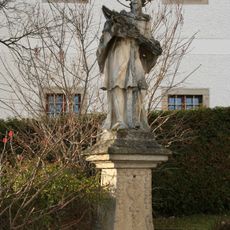
Figurenbildstock hl. Nepomuk Gramastetten
523 m
Pfarrhof St. Gotthard
4.5 km
Unterreithmühle
4 km
Pfarrhof Gramastetten
523 m
Ehemalige Volksschule St. Gotthard
4.5 km
Enzianwiese in Eidenberg
3.9 km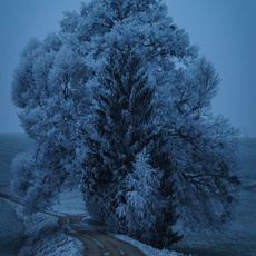
Zwillingslinde von Gramastetten
1.2 km
Eiche in Walding
3.9 kmReviews
Visited this place? Tap the stars to rate it and share your experience / photos with the community! Try now! You can cancel it anytime.
Discover hidden gems everywhere you go!
From secret cafés to breathtaking viewpoints, skip the crowded tourist spots and find places that match your style. Our app makes it easy with voice search, smart filtering, route optimization, and insider tips from travelers worldwide. Download now for the complete mobile experience.

A unique approach to discovering new places❞
— Le Figaro
All the places worth exploring❞
— France Info
A tailor-made excursion in just a few clicks❞
— 20 Minutes