
Rotbuche in Erledt, natural monument of Upper Austria, Austria
Location: Schärding District
Height: 36 m
GPS coordinates: 48.43367,13.82929
Latest update: October 15, 2024 13:22
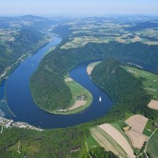
Schlögener Schlinge
2.3 km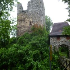
Burgruine Haichenbach
1.9 km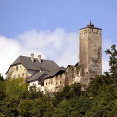
Burg Marsbach
2.8 km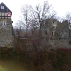
Burgruine Wesen
779 m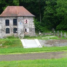
Schloss Freizell
1.6 km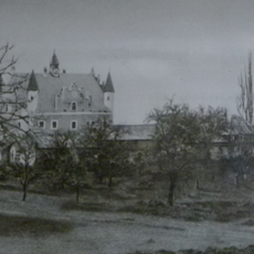
Schloss Aichberg
1.9 km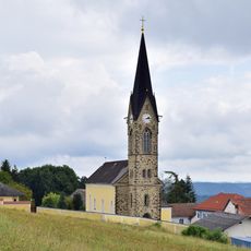
Pfarrkirche hl. Nikolaus, Waldkirchen am Wesen
917 m
Römerbad und Römerpark Schlögen
3 km
Burgstall Haichenbach
1.7 km
Burgstall Katzbach
2.3 km
Labyrinth
1.9 km
Wayside cross
2.5 km
Scenic viewpoint
1.9 km
Wayside shrine, Christianity
1.9 km
Wayside cross
1.8 km
Obelisk, memorial
2 km
Wayside cross
2.2 km
Scenic viewpoint
1.8 km
Catholic church building, wayside cross, Christianity
1.6 km
Wayside cross
1.9 km
Scenic viewpoint
2.6 km
Scenic viewpoint
2.6 km
Scenic viewpoint
2.6 km
Scenic viewpoint
2.7 km
Fernrohr - am Paschinger Hügel
1.3 km
Steiner Felsen
2.9 km
Wayside cross
3 km
Kleiner Steiner Fels
3 kmReviews
Visited this place? Tap the stars to rate it and share your experience / photos with the community! Try now! You can cancel it anytime.
Discover hidden gems everywhere you go!
From secret cafés to breathtaking viewpoints, skip the crowded tourist spots and find places that match your style. Our app makes it easy with voice search, smart filtering, route optimization, and insider tips from travelers worldwide. Download now for the complete mobile experience.

A unique approach to discovering new places❞
— Le Figaro
All the places worth exploring❞
— France Info
A tailor-made excursion in just a few clicks❞
— 20 Minutes