Burgstall Niederranna, lost medieval fortification or settlement near Niederranna, Upper Austria
Location: Hofkirchen im Mühlkreis
GPS coordinates: 48.47063,13.79310
Latest update: November 18, 2025 19:54
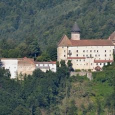
Schloss Rannariedl
1.9 km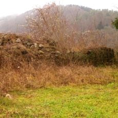
Kleinkastell Oberranna
1.4 km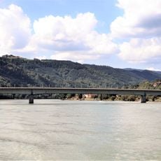
Niederranna Danube bridge
562 m
Niederwesen Castle
1.8 km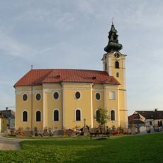
Saint Ulrich church in Hofkirchen i.M.
1.9 km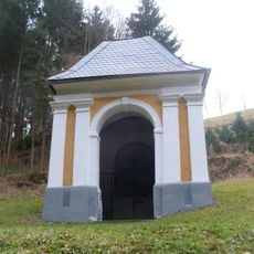
Pankratiuskapelle, Sankt Aegidi
2 km
Marktbrunnen Hofkirchen
1.9 km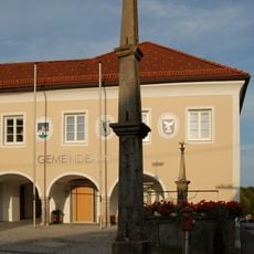
Pranger Hofkirchen
1.9 km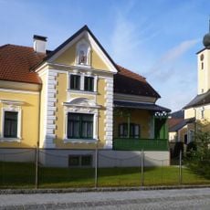
Pfarrhof
1.8 km
Markt 4
1.9 km
Markt 6
1.9 km
Pfarrhof Hofkirchen im Mühlkreis
2 km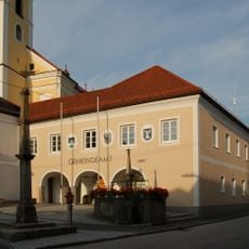
Gemeindeamt Hofkirchen im Mühlkreis
1.9 km
Markt 5
1.9 km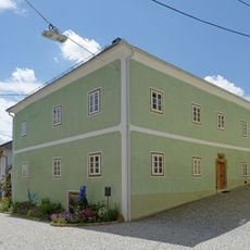
Bürgerhaus, sog. Mesnerhaus
1.9 km
Figurenpark Fahrner
1.3 km
Freibad Hofkirchen
1.8 km
Burgus
1.4 km
Panoramablick Marsbach
2 km
Bildstock
1.4 km
Memorial, war memorial
2 km
Wayside cross
1.4 km
Wayside cross
1.7 km
Wayside shrine, Christianity
1.9 km
Memorial stone, memorial
1.6 km
Wayside cross
1.7 km
Bockbach Wasserfall
1.4 km
Der Pranger vor dem Rathaus besteht aus einer obeliskartigen Steinpfeiler mit profiliertem Gesims, Kugelaufsatz und erneuerter Blechfahne. Der um 1680 errichtete Pranger ist mit der Jahreszahl ''1335'' bezeichnet, dem fälschlichen Jahr der Markterhebung.
1.9 kmVisited this place? Tap the stars to rate it and share your experience / photos with the community! Try now! You can cancel it anytime.
Discover hidden gems everywhere you go!
From secret cafés to breathtaking viewpoints, skip the crowded tourist spots and find places that match your style. Our app makes it easy with voice search, smart filtering, route optimization, and insider tips from travelers worldwide. Download now for the complete mobile experience.

A unique approach to discovering new places❞
— Le Figaro
All the places worth exploring❞
— France Info
A tailor-made excursion in just a few clicks❞
— 20 Minutes