
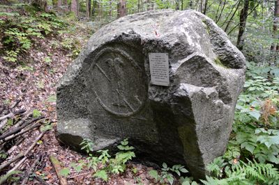
Wappengrenzstein, Grenzstein mit Wappen bei Unteramlach, der die Grenze zwischen Spittal an der Drau und Stockenboi anzeigt
Location: Spittal an der Drau
Location: Stockenboi
GPS coordinates: 46.75380,13.55650
Latest update: March 6, 2025 12:21

Burgruine Rothenthurn
2.4 km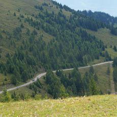
Goldeck-Panoramastraße
1.7 km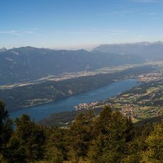
Millstätter See-Rücken
4.9 km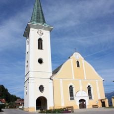
Kirche Zlan
3.3 km
Auferstehungskirche
5.3 km
Museum Carantana
2.1 km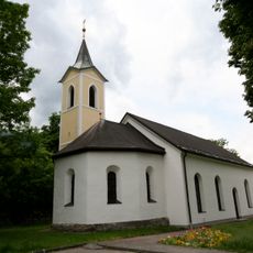
Filialkirche Edling
5.4 km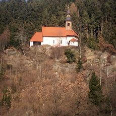
Filialkirche hl. Magdalena, Baldersdorf
2.7 km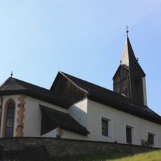
Bichlkapelle, Stockenboi
3.6 km
Filialkirche St. Peter unter Spittal
3.1 km
Filialkirche Unsere Liebe Frau vor Spittal
5.4 km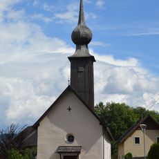
Pfarrkirche hl. Markus, Amlach
1.4 km
St. Tiburtius
2.2 km
Saint Martin Church
2.2 km
Pfarrkirche Maria Dornach, Kamering
4.2 km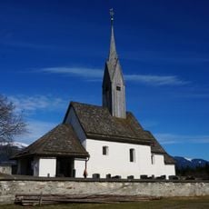
Filialkirche hl. Magdalena, Tragail
4.4 km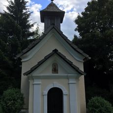
Knappenkapelle, Unteralm
5 km
Schloßvilla Kantor
4.5 km
Ehemalige Klosteranlage Molzbichl
2.1 km
Boundary stone near Unteramlach
0 m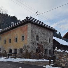
Osingerhaus, Kamering
4.1 km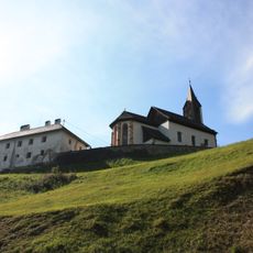
Rectory
3.6 km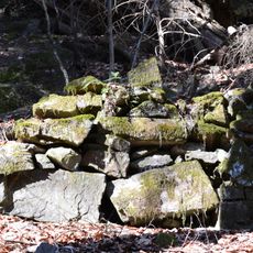
Ringwall Hochgosch
3.8 km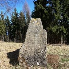
Wappengrenzstein (Seite in Stockenboi)
2.1 km
Wappengrenzstein (Stockenboier Seite)
0 m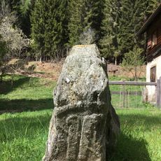
Wappengrenzstein (Seite in Spittal)
2.1 km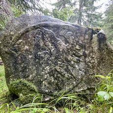
Wappengrenzstein
3.7 km
Wappengrenzstein bei Kleinsaß 1
2.1 kmReviews
Visited this place? Tap the stars to rate it and share your experience / photos with the community! Try now! You can cancel it anytime.
Discover hidden gems everywhere you go!
From secret cafés to breathtaking viewpoints, skip the crowded tourist spots and find places that match your style. Our app makes it easy with voice search, smart filtering, route optimization, and insider tips from travelers worldwide. Download now for the complete mobile experience.

A unique approach to discovering new places❞
— Le Figaro
All the places worth exploring❞
— France Info
A tailor-made excursion in just a few clicks❞
— 20 Minutes