Friedrichshof, human settlement in Gmünd District
Location: Unserfrau-Altweitra
GPS coordinates: 48.71640,14.94079
Latest update: November 12, 2025 11:17
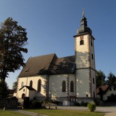
Pfarrkirche hll. 14 Nothelfer, Dietmanns
3.5 km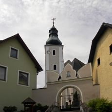
Pfarrkirche Mariä Geburt
3.2 km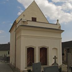
Karner Unserfrau
3.2 km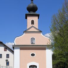
Ortskapelle Hörmanns bei Weitra
1.9 km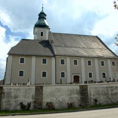
Parish church and cemetery Unserfrau
3.2 km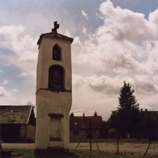
Apollonia-Bildstock, Weitra
3.4 km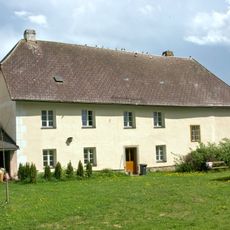
Pfarrhof Unserfrau
3.2 km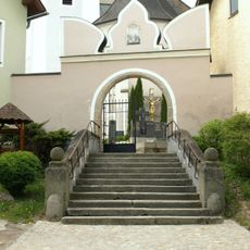
Friedhofsmauer, -tor
3.3 km
Wayside cross
3.4 km
Wayside cross
2.5 km
Wayside cross
3.4 km
Place of worship, wayside shrine, house of prayer
3.2 km
Wayside cross
3.1 km
Christianity, wayside shrine
3.1 km
Scenic viewpoint
1.1 km
Memorial, war memorial
3.5 km
Wayside cross
2.6 km
Scenic viewpoint
1.8 km
Wayside cross
2 km
Wayside shrine, Christianity
2.5 km
Wayside shrine
2.6 km
Wayside shrine
3 km
Wayside shrine
3.4 km
Wayside cross
3.4 km
Kriegerdenkmal
3.5 km
Wayside cross
3.2 km
Wayside cross
87 m
Wayside shrine, Christianity
1.9 kmReviews
Visited this place? Tap the stars to rate it and share your experience / photos with the community! Try now! You can cancel it anytime.
Discover hidden gems everywhere you go!
From secret cafés to breathtaking viewpoints, skip the crowded tourist spots and find places that match your style. Our app makes it easy with voice search, smart filtering, route optimization, and insider tips from travelers worldwide. Download now for the complete mobile experience.

A unique approach to discovering new places❞
— Le Figaro
All the places worth exploring❞
— France Info
A tailor-made excursion in just a few clicks❞
— 20 Minutes