
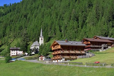
Kalkstein, Ort in der Gemeinde Innervillgraten, Osttirol
Location: Innervillgraten
Elevation above the sea: 1,639 m
GPS coordinates: 46.80528,12.31806
Latest update: March 9, 2025 08:36
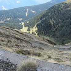
Cornetto Di Confine
2.8 km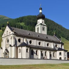
Pfarrkirche St. Martin
3.9 km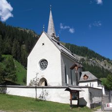
Wallfahrtskirche Maria Schnee (Kalkstein, Tyrol)
35 m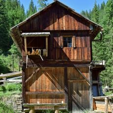
Venezianergattersäge Innervillgraten
3 km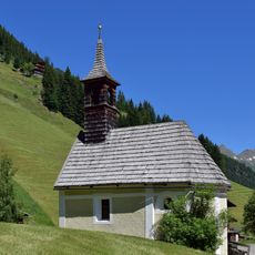
Maxerkapelle
2 km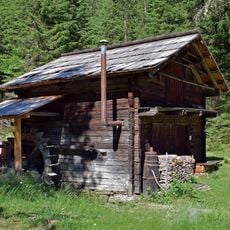
Lodenstampfe
3 km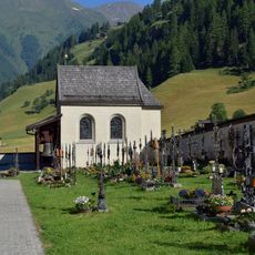
Friedhof Innervillgraten
4 km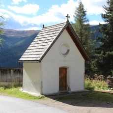
Kapelle Hl. Dreifaltigkeit
3.4 km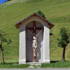
Bildstock Eggenberg, Innervillgraten
2.1 km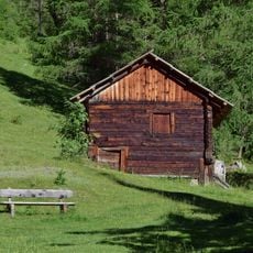
Mühle-Kalkstein
29 m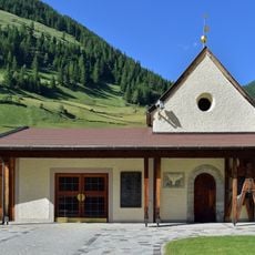
Kriegerkapelle Innervillgraten
3.9 km
Widum Innervillgraten
4.1 km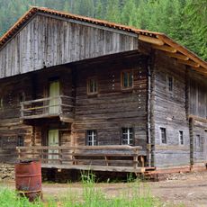
Einhof "Innerneuhauser" im Bereich des Freilichtmuseums Wegelate Säge
3 km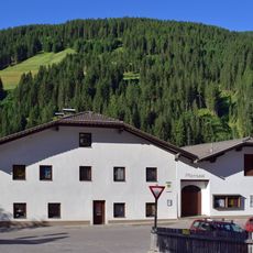
Öffentliche Bücherei Innervillgraten
4.1 km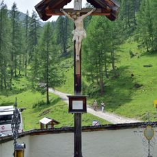
Friedhofskreuz Kalkstein
45 m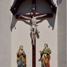
Friedhofskreuz Gasse
4 km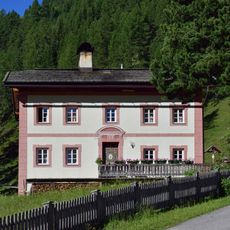
Widum Kalkstein
53 m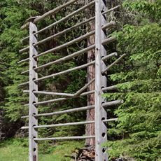
Lodenharpfe
2.9 km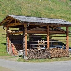
Innerkleinbachletharpfe
3.2 km
Oberschmidhoferharpfe
3.8 km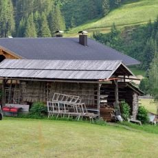
Kohlerharpfe
3.9 km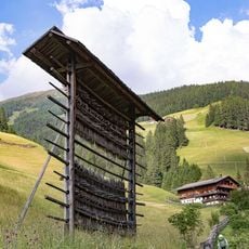
Kohlerharpfe
3.9 km
Friedhofskapelle Gasse
3.9 km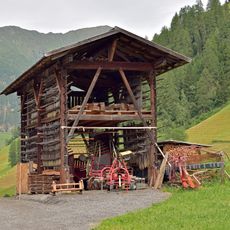
Höllerstauderharpfe
4.1 km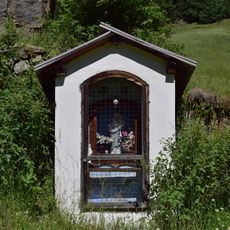
Eggerbildstock
1.9 km
Gallerharpfe
4.1 km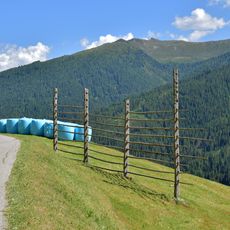
Bodenharpfe
3 km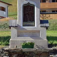
Herz-Jesu-Bildstock Gasse
4 kmReviews
Visited this place? Tap the stars to rate it and share your experience / photos with the community! Try now! You can cancel it anytime.
Discover hidden gems everywhere you go!
From secret cafés to breathtaking viewpoints, skip the crowded tourist spots and find places that match your style. Our app makes it easy with voice search, smart filtering, route optimization, and insider tips from travelers worldwide. Download now for the complete mobile experience.

A unique approach to discovering new places❞
— Le Figaro
All the places worth exploring❞
— France Info
A tailor-made excursion in just a few clicks❞
— 20 Minutes