
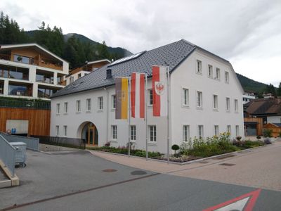
Gemeindeamt Reith bei Seefeld, Gemeindeamt in Reith bei Seefeld, Tirol
Location: Reith bei Seefeld
Inception: 1840s
Address: Römerstraße 16
GPS coordinates: 47.29997,11.20247
Latest update: March 2, 2025 23:20
Zirler Berg
2.4 km
Rauenkopf
2.2 km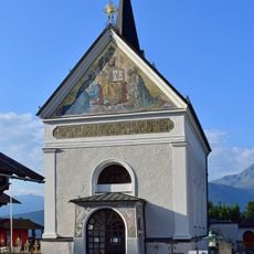
Pfarrkirche Reith bei Seefeld
248 m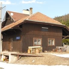
Bahnhof Reith
167 m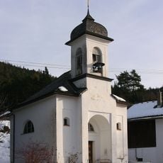
Mariahilfkapelle, Auland
947 m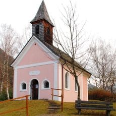
Neue Magnuskapelle
1.8 km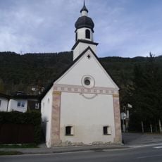
Ortskapelle hl. Pankratius
2.1 km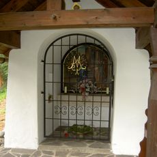
Frau Häusl-Kapelle, Kapelle Mariä Heimsuchung
629 m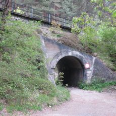
Brücke zw. Pflegerbach und Haltestelle Leithen
1.9 km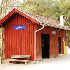
Leithen railway station
1.8 km
Alte Römerbrücke
1.9 km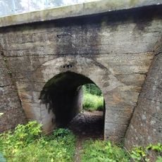
Brücke nach Haltestelle Leithen
1.7 km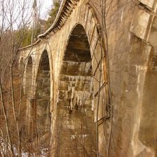
Gurglbachviadukt
435 m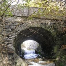
Alte Römerbrücke
1.9 km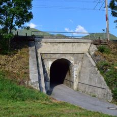
Eisenbahnbrücke, 2 Brücken zw. Gurglbachviadukt u. Aufnahmsgebäude Reith
130 m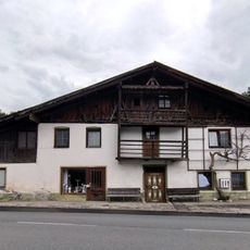
Bauernhaus Römerstraße 11, Reith bei Seefeld
31 m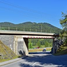
2 Brücken zw. Aufnahmsgebäude Reith u. Brücke Kaltwasserbad
367 m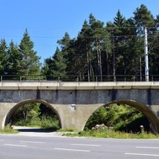
Hermelesbachviadukt
1.7 km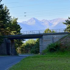
Brücke vor dem Gurglbachviadukt
450 m
Pestmarterl
1.6 km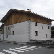
Wohnhaus, Riesenhaus
1.7 km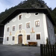
Wohnhaus, ehem. Tax'sches Posthaus
1.9 km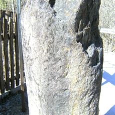
Grenzstein, Römerstein
482 m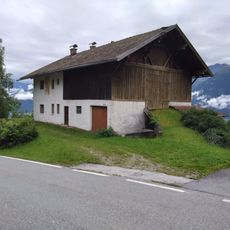
Bauernhaus Römerstraße 47, Reith bei Seefeld
567 m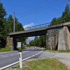
Brücke nach Hermelesbachviadukt
1.7 km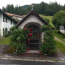
Nikolauskapelle, Reith bei Seefeld
19 m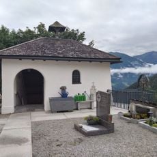
Totenkapelle, Reith bei Seefeld
249 m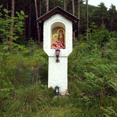
Marienbildstock, Leithen
2 kmReviews
Visited this place? Tap the stars to rate it and share your experience / photos with the community! Try now! You can cancel it anytime.
Discover hidden gems everywhere you go!
From secret cafés to breathtaking viewpoints, skip the crowded tourist spots and find places that match your style. Our app makes it easy with voice search, smart filtering, route optimization, and insider tips from travelers worldwide. Download now for the complete mobile experience.

A unique approach to discovering new places❞
— Le Figaro
All the places worth exploring❞
— France Info
A tailor-made excursion in just a few clicks❞
— 20 Minutes