
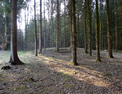
Hügelgräber im Lindetwald, Hügelgräber im Gemeindegebiet von St. Florian am Inn in Oberösterreich
Location: Sankt Florian am Inn
GPS coordinates: 48.40200,13.47800
Latest update: March 3, 2025 02:42

Suben Penitentiary
3.7 km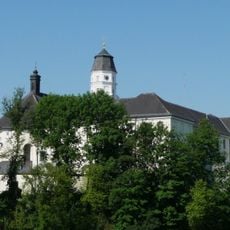
Suben Abbey
3.8 km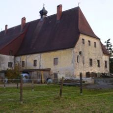
Schloss Hackledt
6 km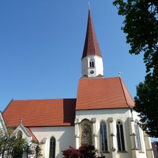
Sankt Florian
5.1 km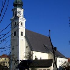
Pfarrkirche Sankt Marienkirchen bei Schärding
2.5 km
1. Deutsches Toyota-Museum
6.6 km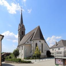
Pfarrkirche Eggerding
6 km
Pfarrkirche hl. Lambert, Suben
3.8 km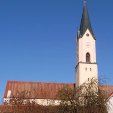
St. Petrus
6.5 km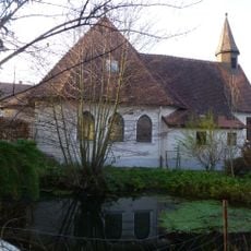
Filialkirche Teufenbach
1 km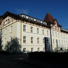
Landwirtschaftliche Fachschule Otterbach
6.5 km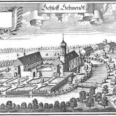
Schloss Schwendt
2.5 km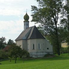
Filialkirche hl. Laurentius, Wagholming
3 km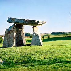
Celtic Golf Course Schärding
3.9 km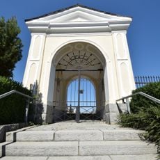
Friedhof St. Marienkirchen
2.3 km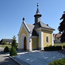
Edtmayer-Kapelle Mayrhof
6.4 km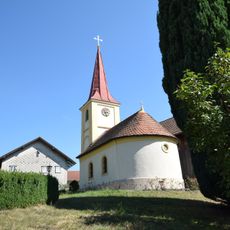
Kapelle Laufenbach - Taufkirchen
2.6 km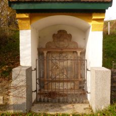
Dornkapelle
3.6 km
Border crossing Suben
4 km
Bilgerhaus Taufkirchen
5.2 km
Zweythurmvilla
3.7 km
Volksschule Eggerding
5.9 km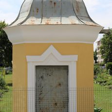
Wasserhaus
5.9 km
Gstoanat in St. Florian
1.8 km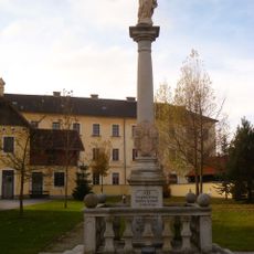
Mariensäule
3.7 km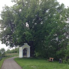
Linde in Suben
3.9 km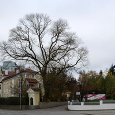
Schnurbaum in Schärding
6.6 km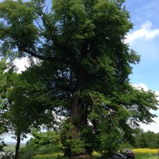
Tausendjährige Linde in Antiesen
4.1 kmReviews
Visited this place? Tap the stars to rate it and share your experience / photos with the community! Try now! You can cancel it anytime.
Discover hidden gems everywhere you go!
From secret cafés to breathtaking viewpoints, skip the crowded tourist spots and find places that match your style. Our app makes it easy with voice search, smart filtering, route optimization, and insider tips from travelers worldwide. Download now for the complete mobile experience.

A unique approach to discovering new places❞
— Le Figaro
All the places worth exploring❞
— France Info
A tailor-made excursion in just a few clicks❞
— 20 Minutes