Nationalpark Hohe Tauern Kernzonen Land Salzburg
Location: Salzburg
Inception: 1984
Part of: Hohe Tauern National Park
GPS coordinates: 47.14650,12.73800
Latest update: November 29, 2025 10:53
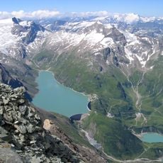
Stausee Mooserboden
2.4 km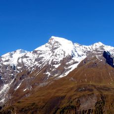
Großes Wiesbachhorn
1.7 km
Klockerin
169 m
Großer Bärenkopf
1.8 km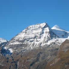
Hohe Dock
1.7 km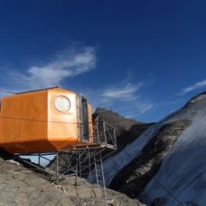
Gruberscharten-Biwak
1 km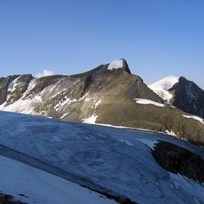
Hinterer Bratschenkopf
656 m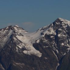
Vorderer Bratschenkopf
708 m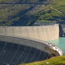
Barrage de Kaprun
2.7 km
Östliches Bärenkopfkees
1.6 km
Klockerinkees
967 m
Teufelsmühlkees
989 m
Bratschenkopfkees
379 m
Hochgruberkees
1.1 km
Kaindlkees
1.2 km
Kaindlgrat
1.6 km
Boggeneikees
2.6 km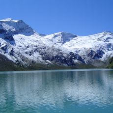
Schwarzköpfl
2.5 km
Unterer Fochezkopf
2 km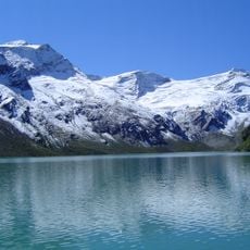
Schwarzköpflkees
2.2 km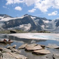
Westliches Bärenkopfkees
2.1 km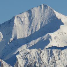
Oberer Fochezkopf
1.8 km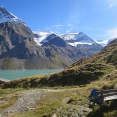
Kleiner Bärenkopf
1.5 km
Wielingerkees
2.6 km
Fritz Vierhapper
1.9 km
Schäfer| Schrottenloher | Finsterwalder
1.9 km
Maier
1.9 km
Gerhard
1.9 kmReviews
Visited this place? Tap the stars to rate it and share your experience / photos with the community! Try now! You can cancel it anytime.
Discover hidden gems everywhere you go!
From secret cafés to breathtaking viewpoints, skip the crowded tourist spots and find places that match your style. Our app makes it easy with voice search, smart filtering, route optimization, and insider tips from travelers worldwide. Download now for the complete mobile experience.

A unique approach to discovering new places❞
— Le Figaro
All the places worth exploring❞
— France Info
A tailor-made excursion in just a few clicks❞
— 20 Minutes